Fall
Here are videos and pics from the latest flights of "The St. Lawrence Phantom" and other pics taken in the Fall Season.
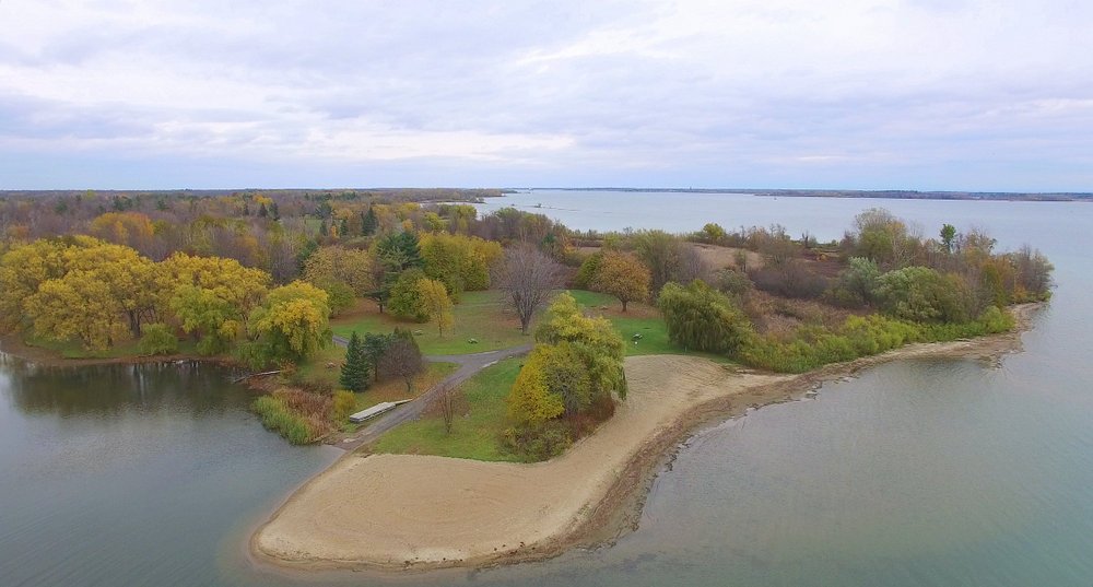
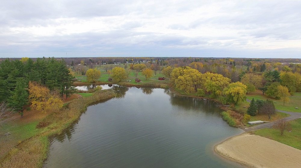
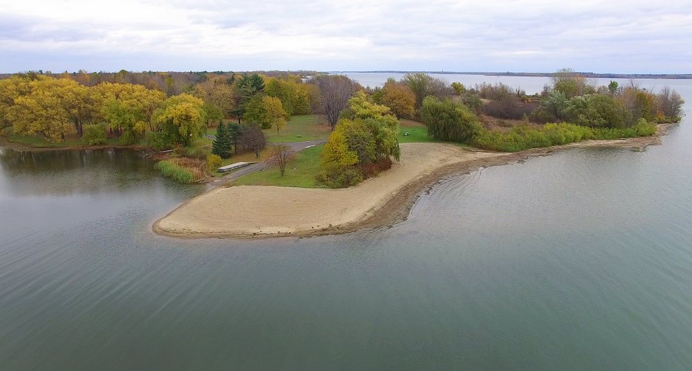
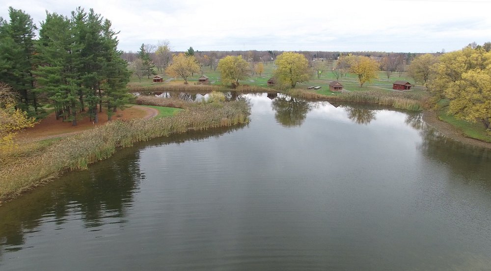
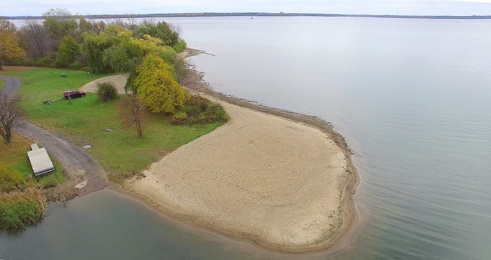
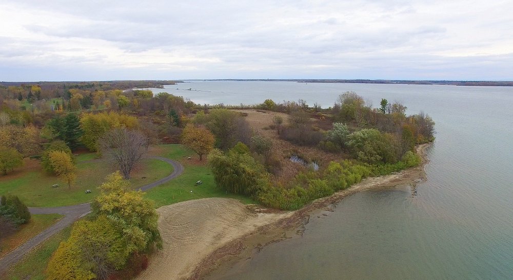
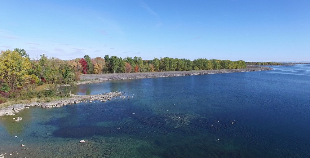
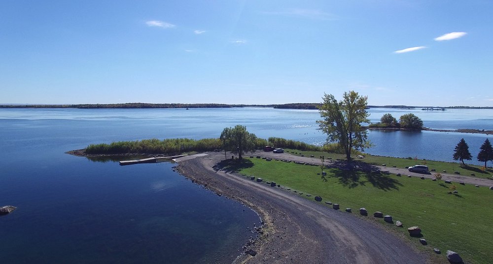
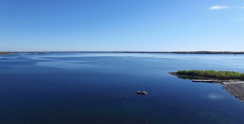
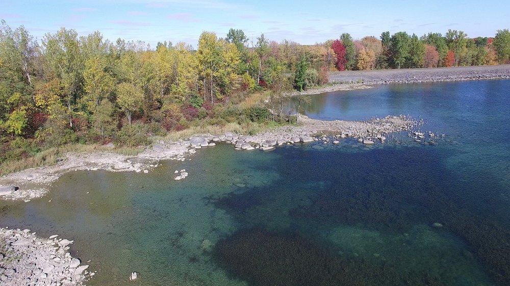
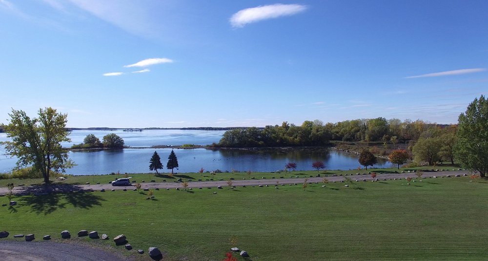
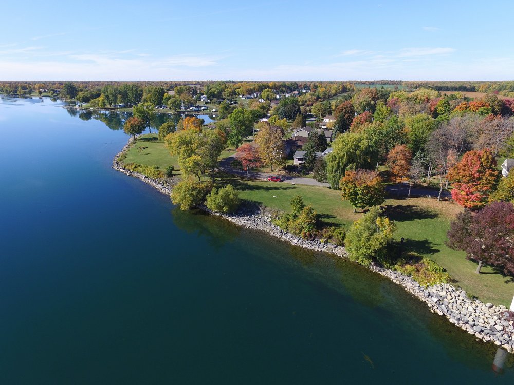
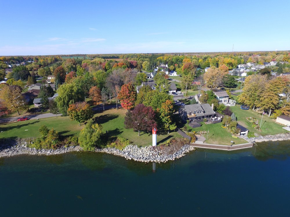
5 November, 2016 - Fall Colours at the Riverside-Cedar Campground Beach.
Just east of Morrisburg, ON on the St. Lawrence River. As seen by the St Lawrence Phantom flying camera.
Video of Riverside-Cedar Campground Flight.
FA75516: Looking Downriver.
FA75550: Looking North.
FA75635: Looking Upriver.
FA75704
FA75807
FA75904: Looking South.
FA80148
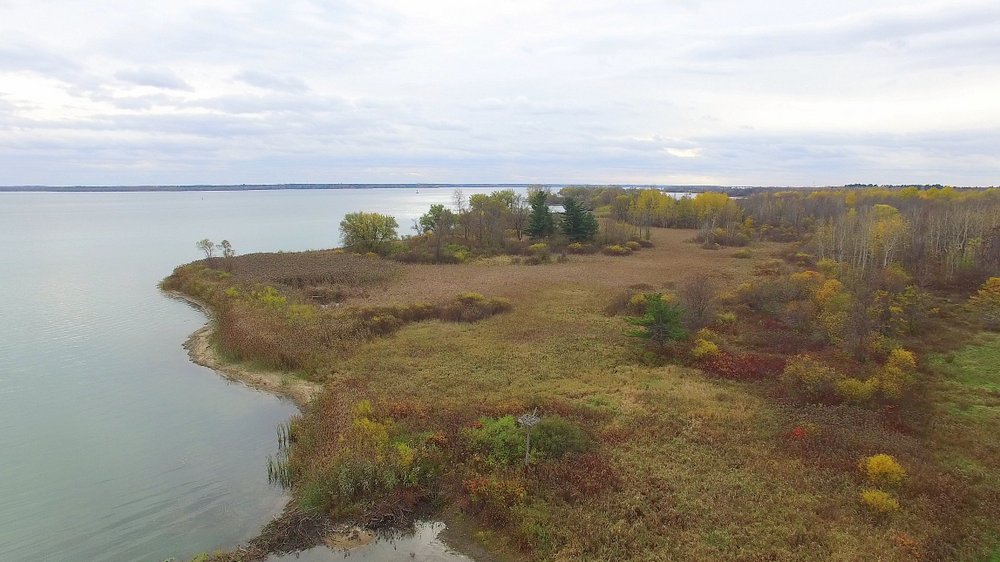
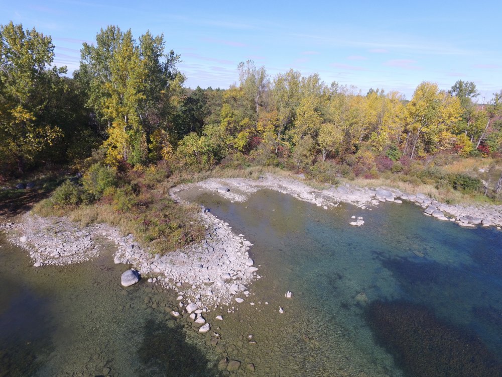
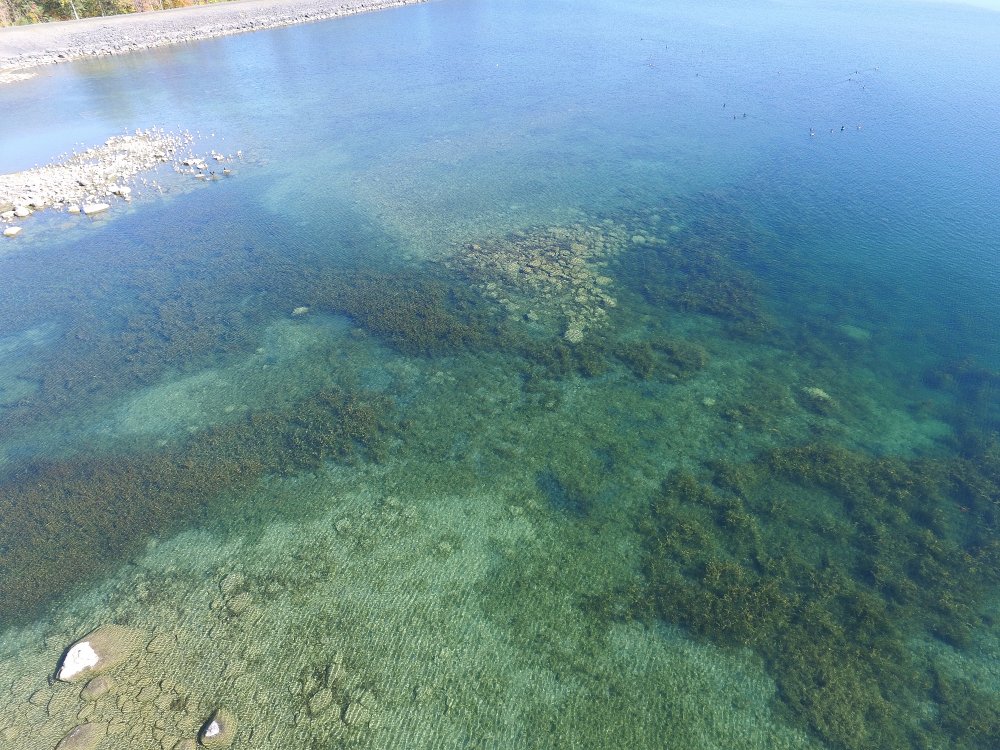
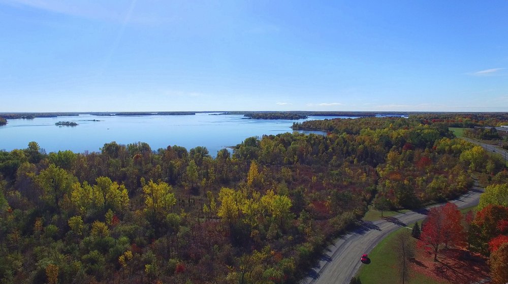
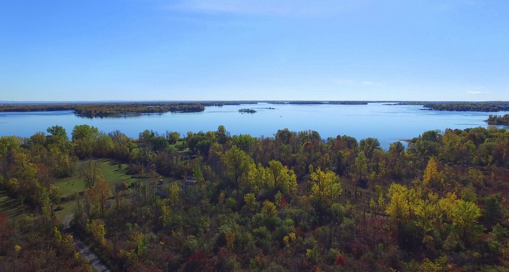
14 October, 2016 - Fall Colours at Guindon Park (West of Cornwall, ON).
As seen by the St Lawrence Phantom flying camera.
Video of Guindon Park Flight.
FA16101414
FA16101415: Tuquoise Waters.
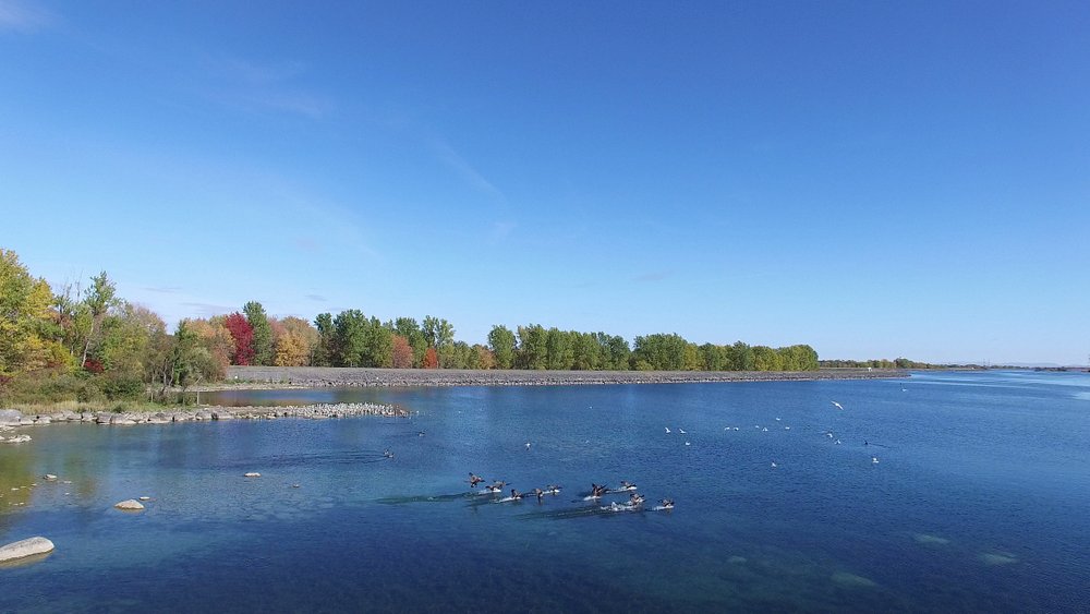
FA93421: Incoming Canada Geese.
FA93509
FA93550
FA93603: Looking South to Massena, NY & the Eisenhower Lock.
FA93706
FA94035
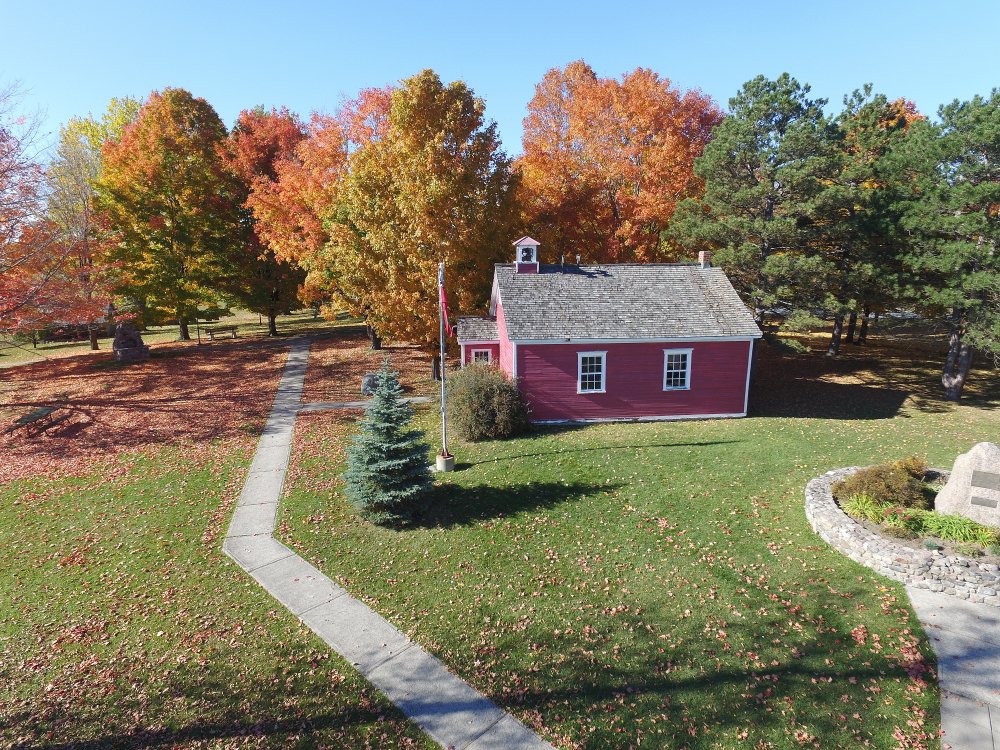
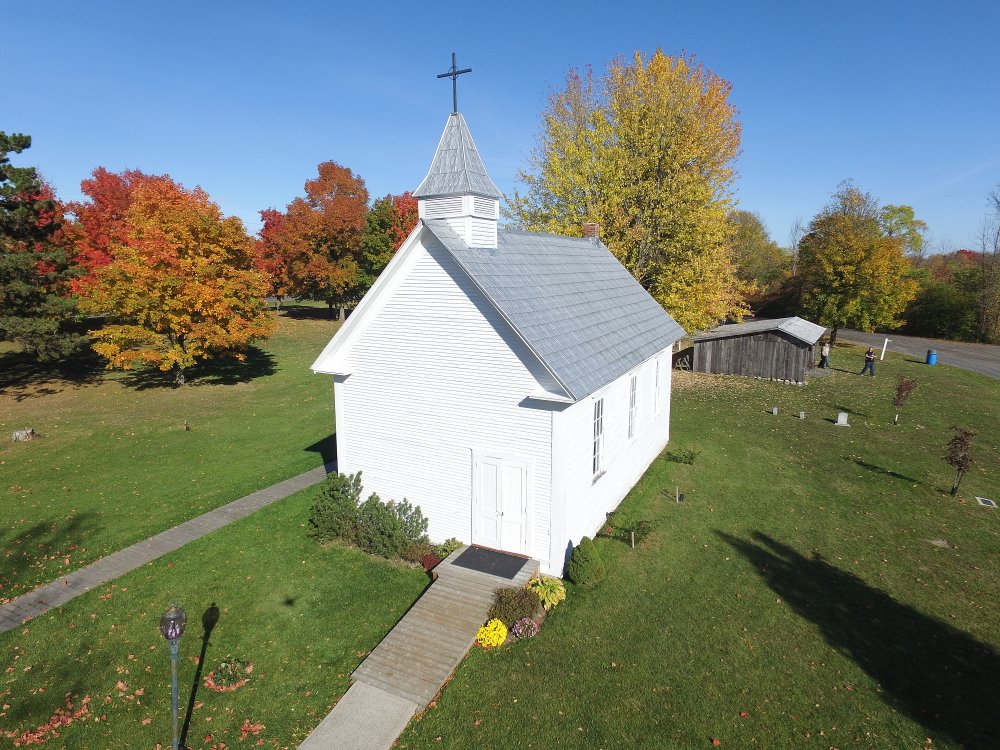
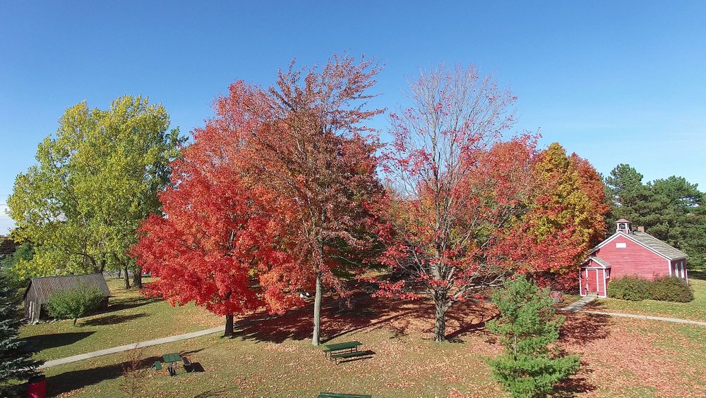
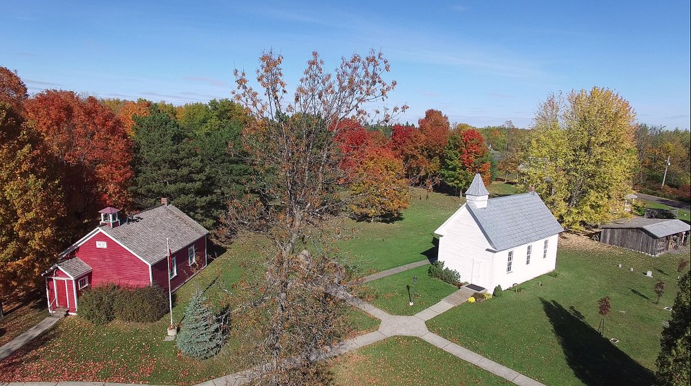
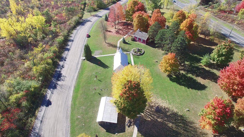
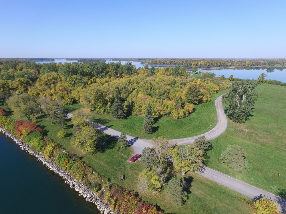
14 October, 2016 - Fall Colours at the Lost Villages Museum.
As seen by the St Lawrence Phantom flying camera.
For more information about the Lost Villages Museum (near Cornwall, ON), see www.lostvillages.ca.
Video of Lost Villages Museum Flight.
Includes a brief aerial tour, views from high above and the 360 view from about 200' above the museum area.
FA16101421
FA16101422
FA81829
FA82043
FA101411
FA101417
FA101509
FA101805
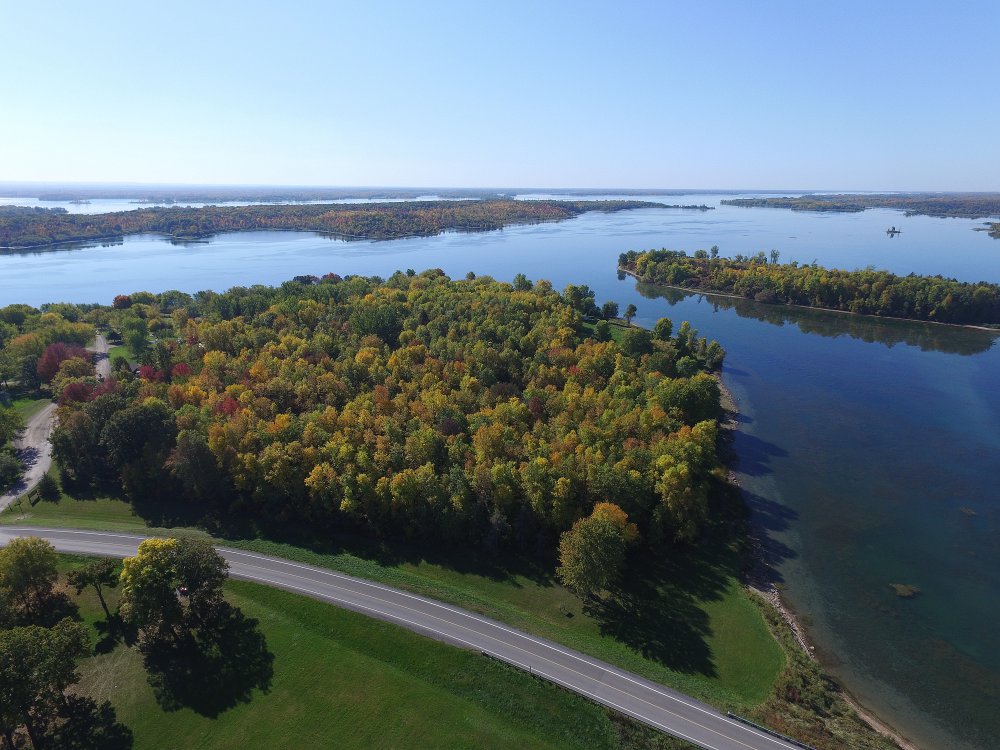
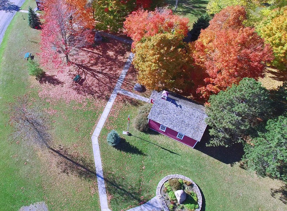
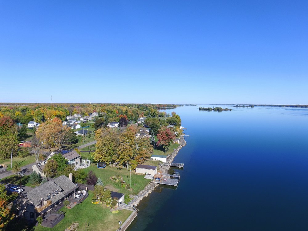
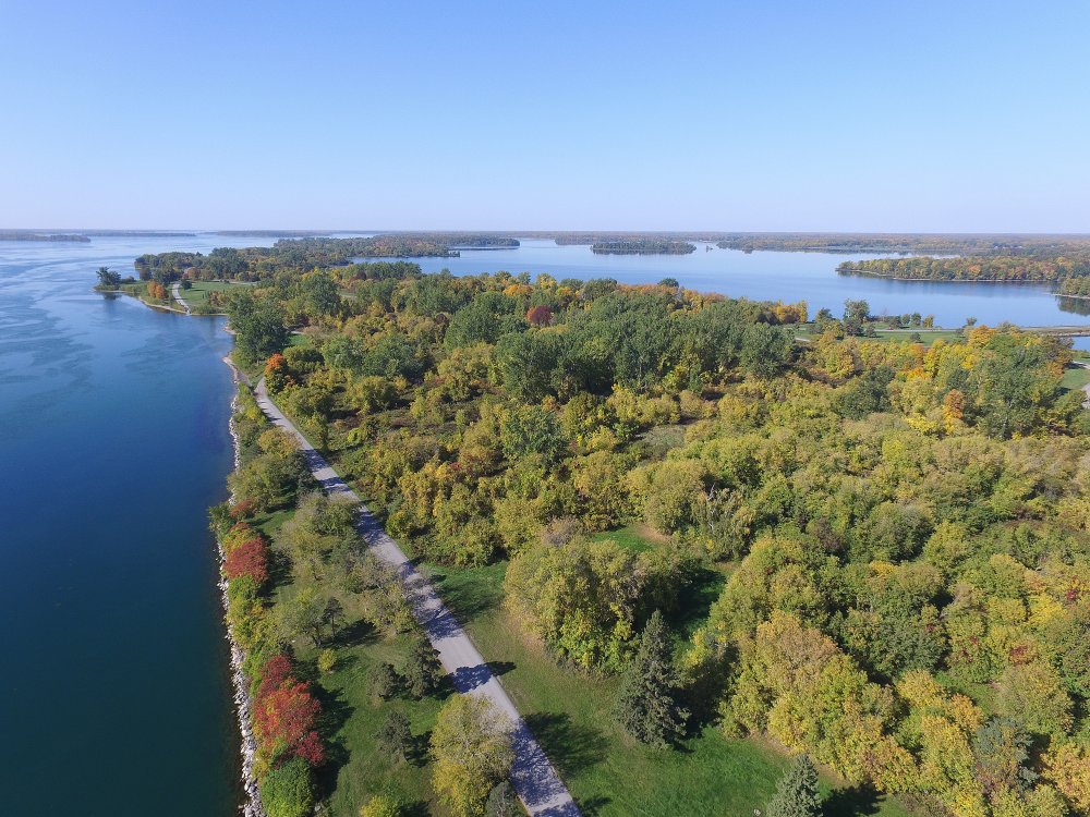
11 October, 2016 - Mariatown Fall Splendour
A flight of the St Lawrence Phantom captures the colours and beauty of Mariatown on the St Lawrence River in South Dundas, Ontario on a perfect fall day.
Video of Mariatown Flight.
FA16101102
FA16101114
FA16101113
FA16101109
FA16101105
FA16101103
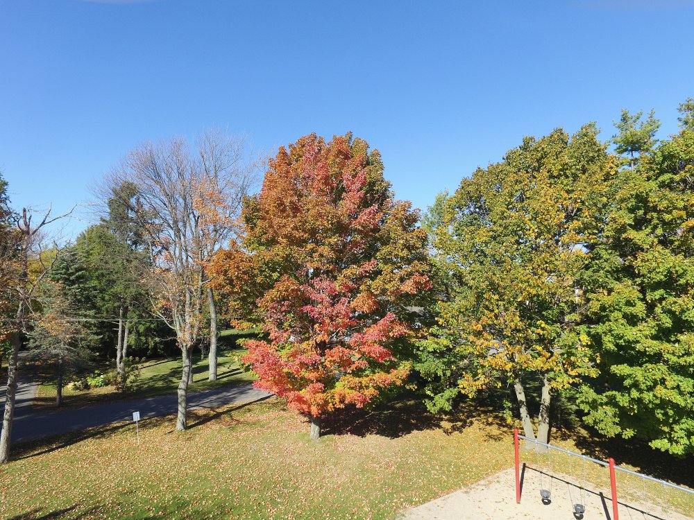
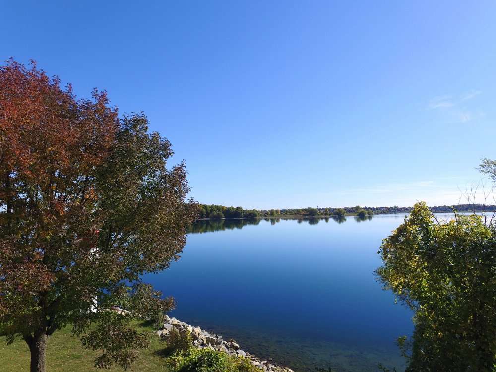
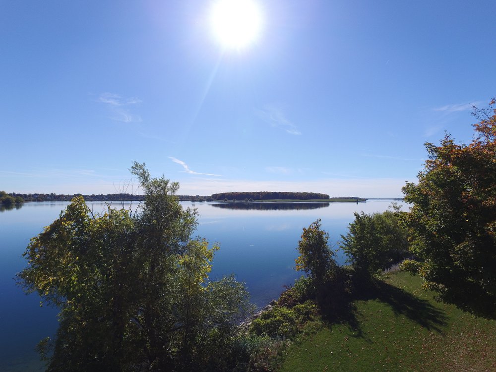
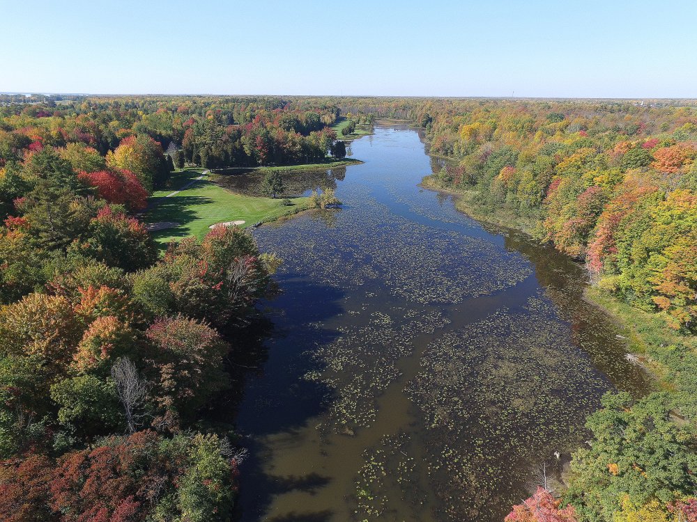
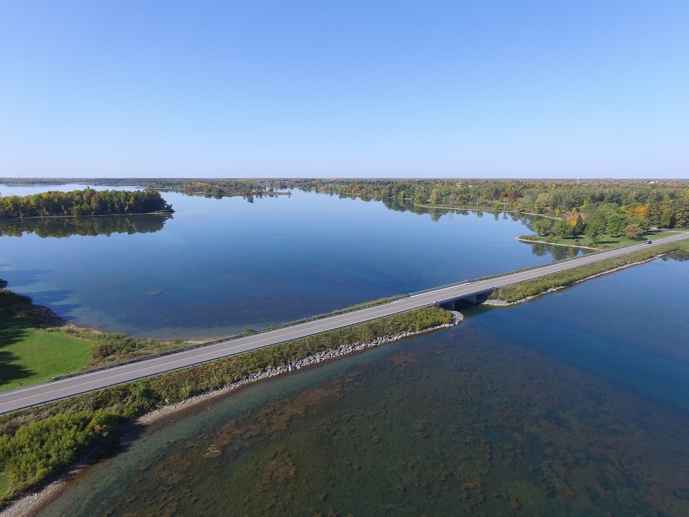
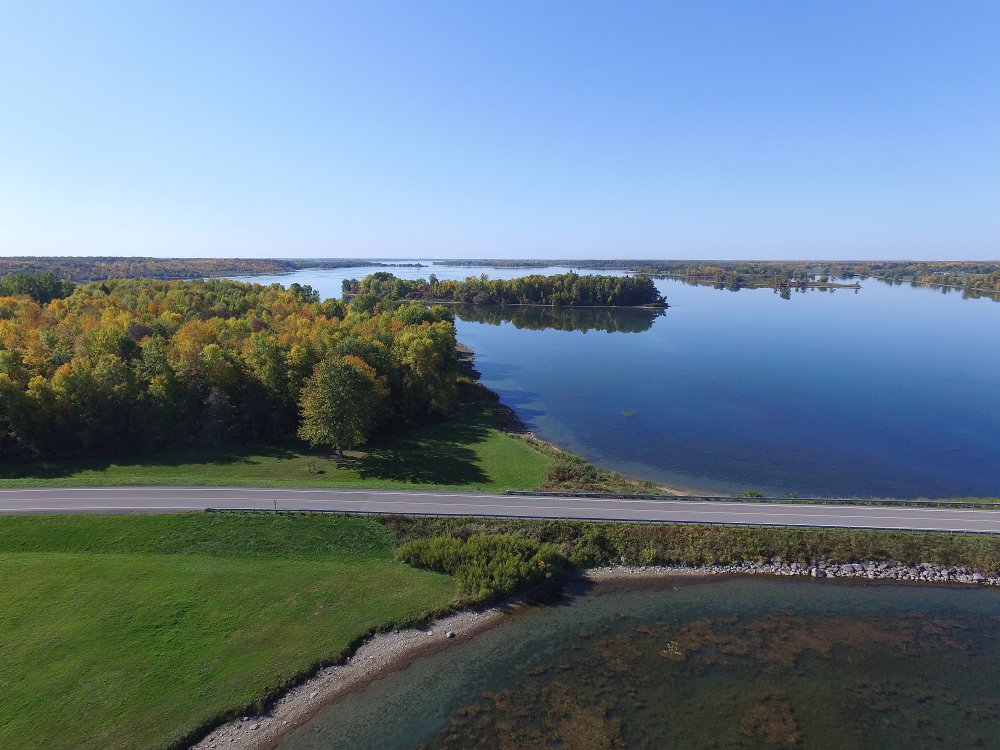
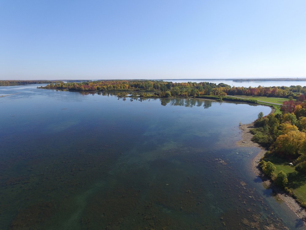
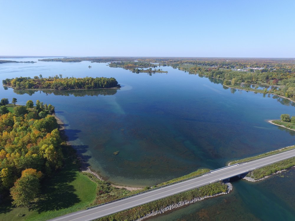
7 October, 2016 - Fall Colours on Hoople Creek.
Video of Hoople Creek Flight.
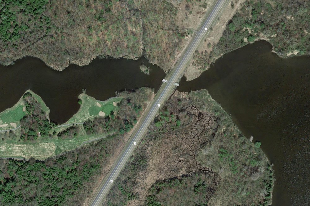
Location: Hoople Creek Bridge on Highway 2 - Just East of The Upper Canada Golf Course.
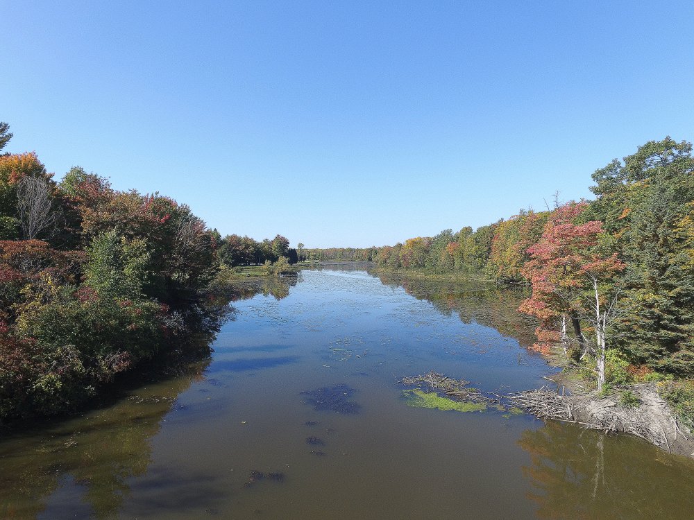
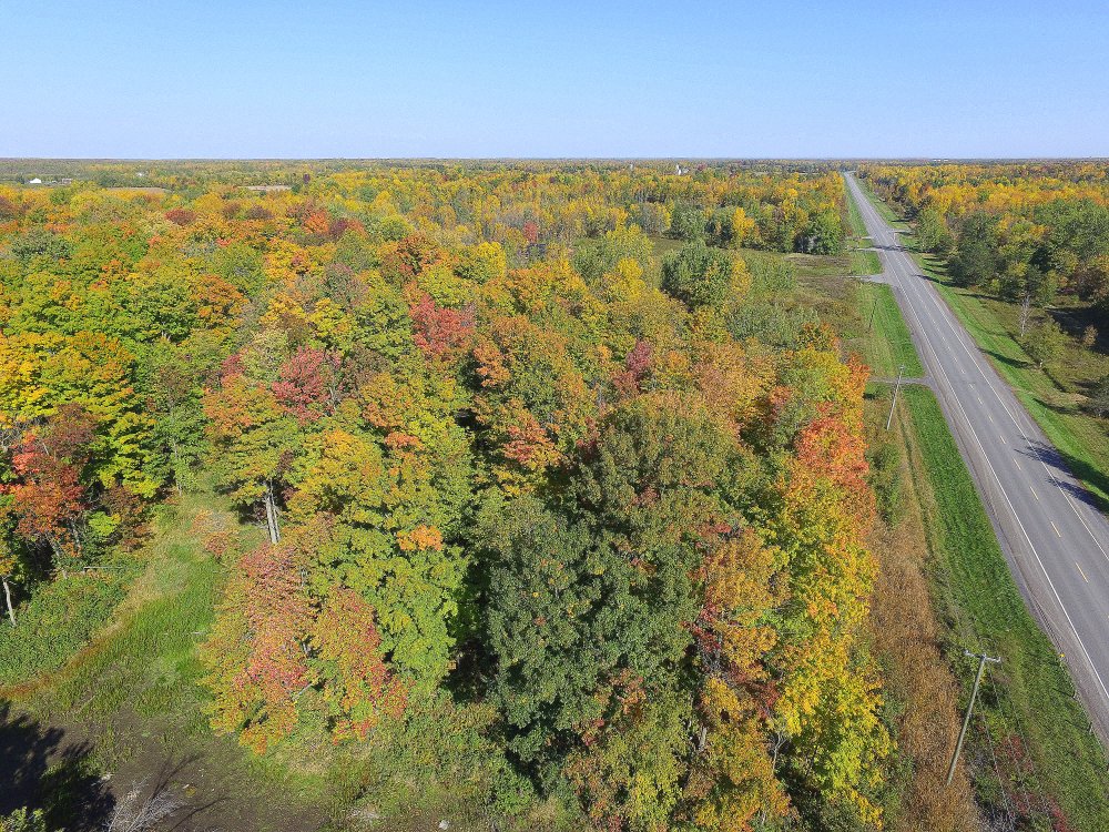
FA16100737: Looking West.
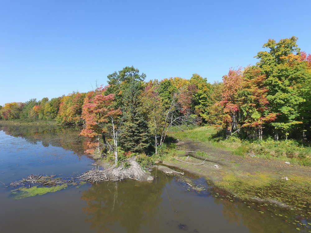
FA16100742:
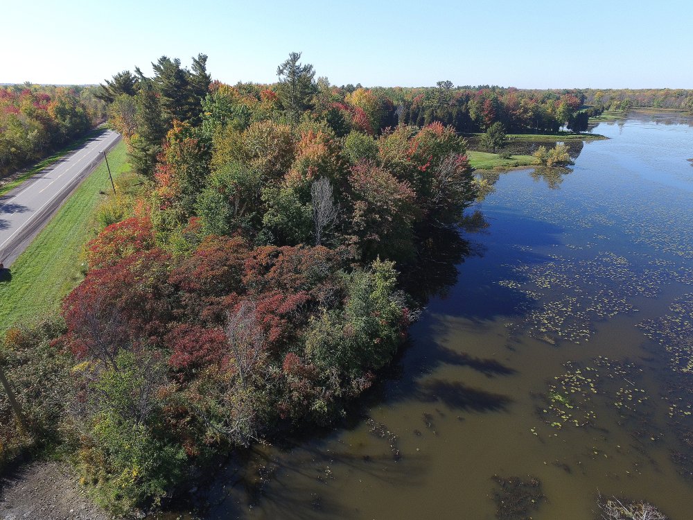
FA16100745: Looking South West Along Hwy 2 to Morrisburg.
FA16100746:
FA16100747: Looking North East Along Hwy 2 to Cornwall
End of Flight Video.
Pilot error bringing in my St Lawrence Phantom flying camera (Drone) at
the end of a flight taking in the fall colours. I came in slightly too
high and clipped the bottom wire - this is the result.
Fortunately I quickly recovered it from the edge of the creek (but
submerged upside down in about a foot of water). After a couple of days drying
it out, I flew it again. Seems OK - PHEW!
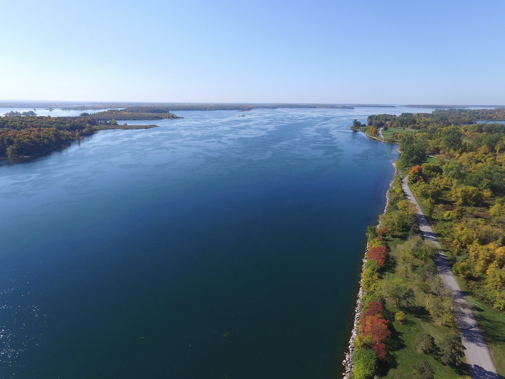
7 October, 2016 - Fall Views of the Long Sault Parkway.
Video of the Hoople Island Flight.
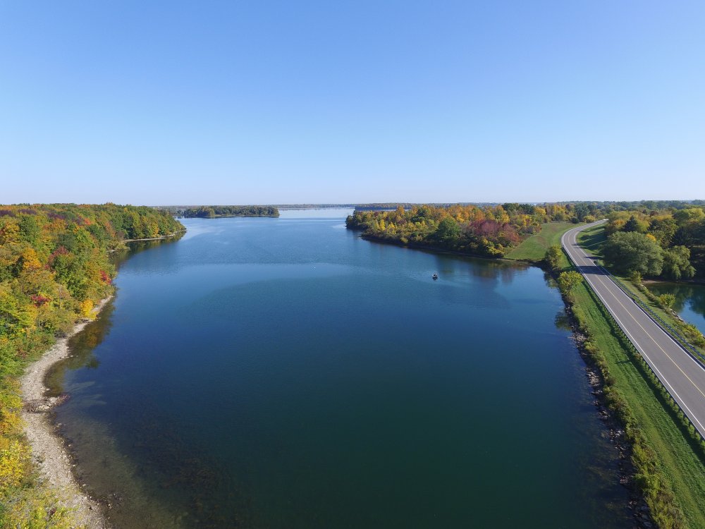
FA16100704: Long Sault Parkway from Hoople Island Looking East.
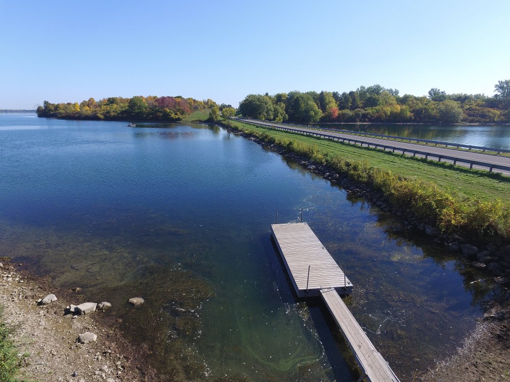
FA16100708: From Hoople Island Looking East - Down Low at the Boat Launch.
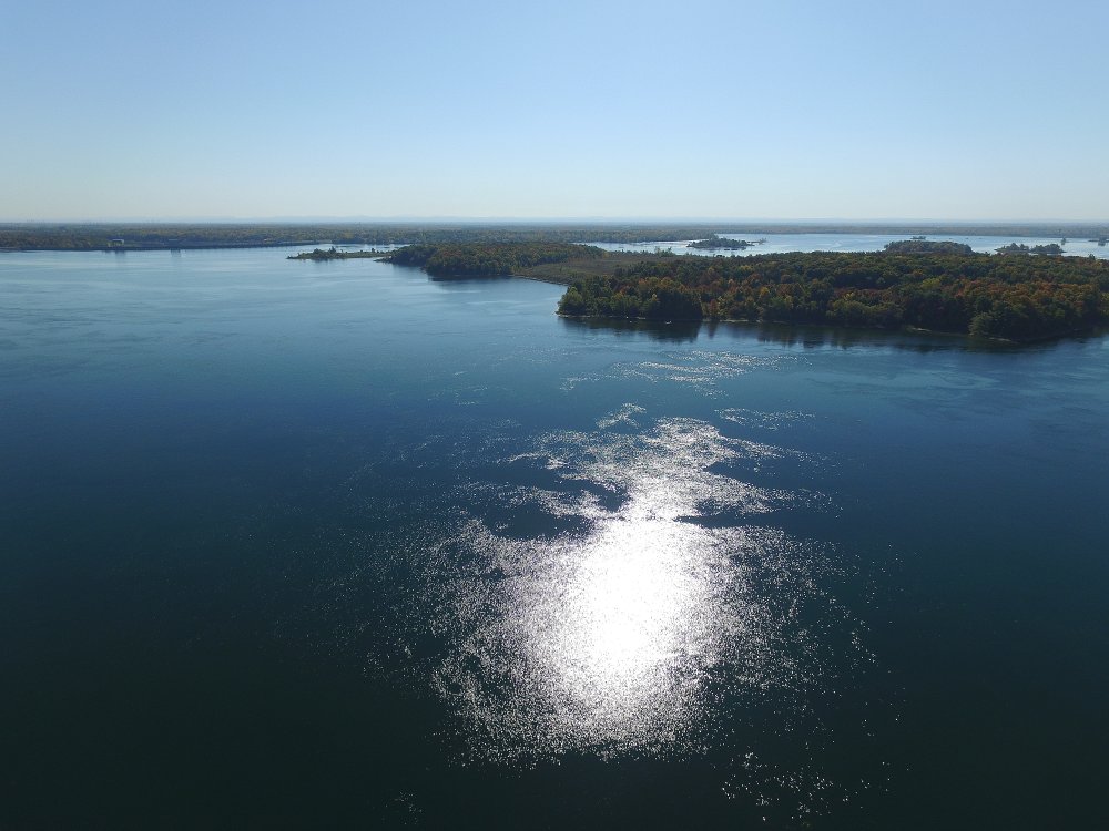
Video of the Macdonell Island Flight.
FA16100712: From the East End of Macdonell Island Looking North East.
See where the old highway goes beneath the water, flooded by the 1958 st. Lawrence Seaway Project
FA16100713: From the East End of Macdonell Island Looking North West.
FA16100716: From the East End of Macdonell Island Looking West.
FA16100717: From the East End of Macdonell Island Looking Upriver.
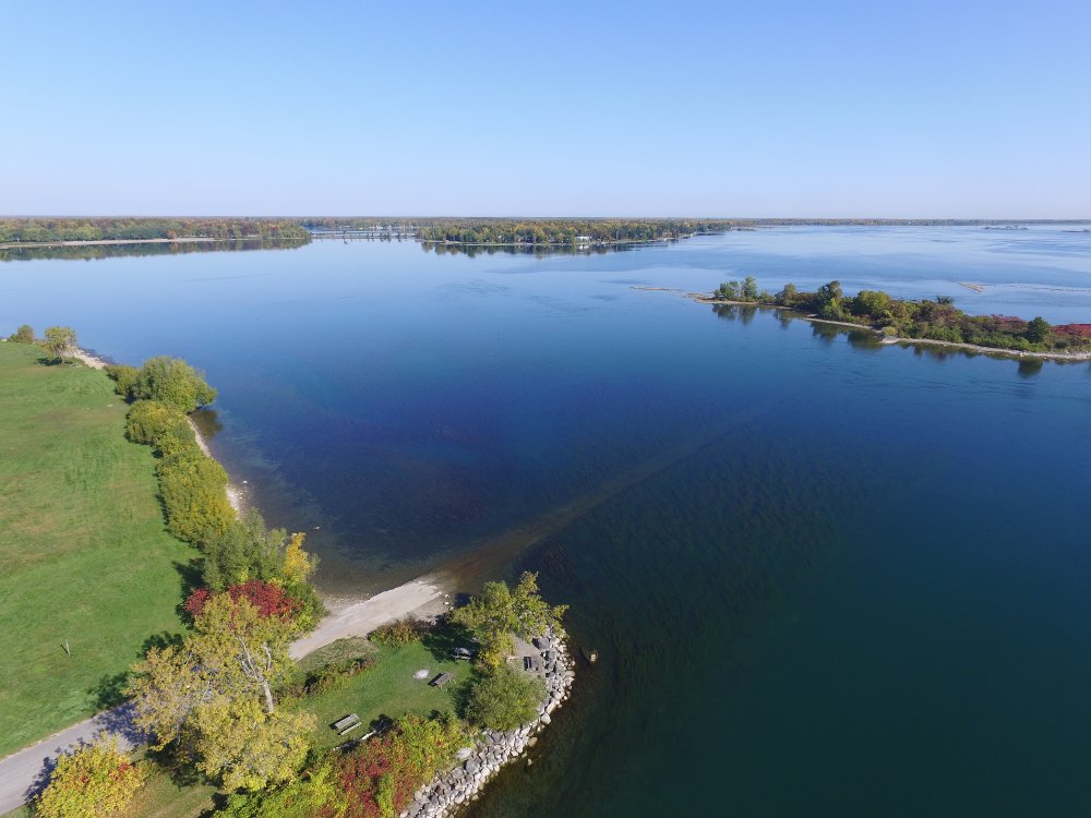
FA16100718: From the East End of Macdonell Island Looking South.
Video of the Woodlands Island Flight.
FA16100724: From the North End of Woodlands Island Looking West.
FA16100725: From the North End of Woodlands Island Looking South West.
FA16100726: From the North End of Woodlands Island Looking East.

FA16100727: From the North End of Woodlands Island Looking North East.
FA16100730: From the North End of Woodlands Island Looking South West - From 100M Height.