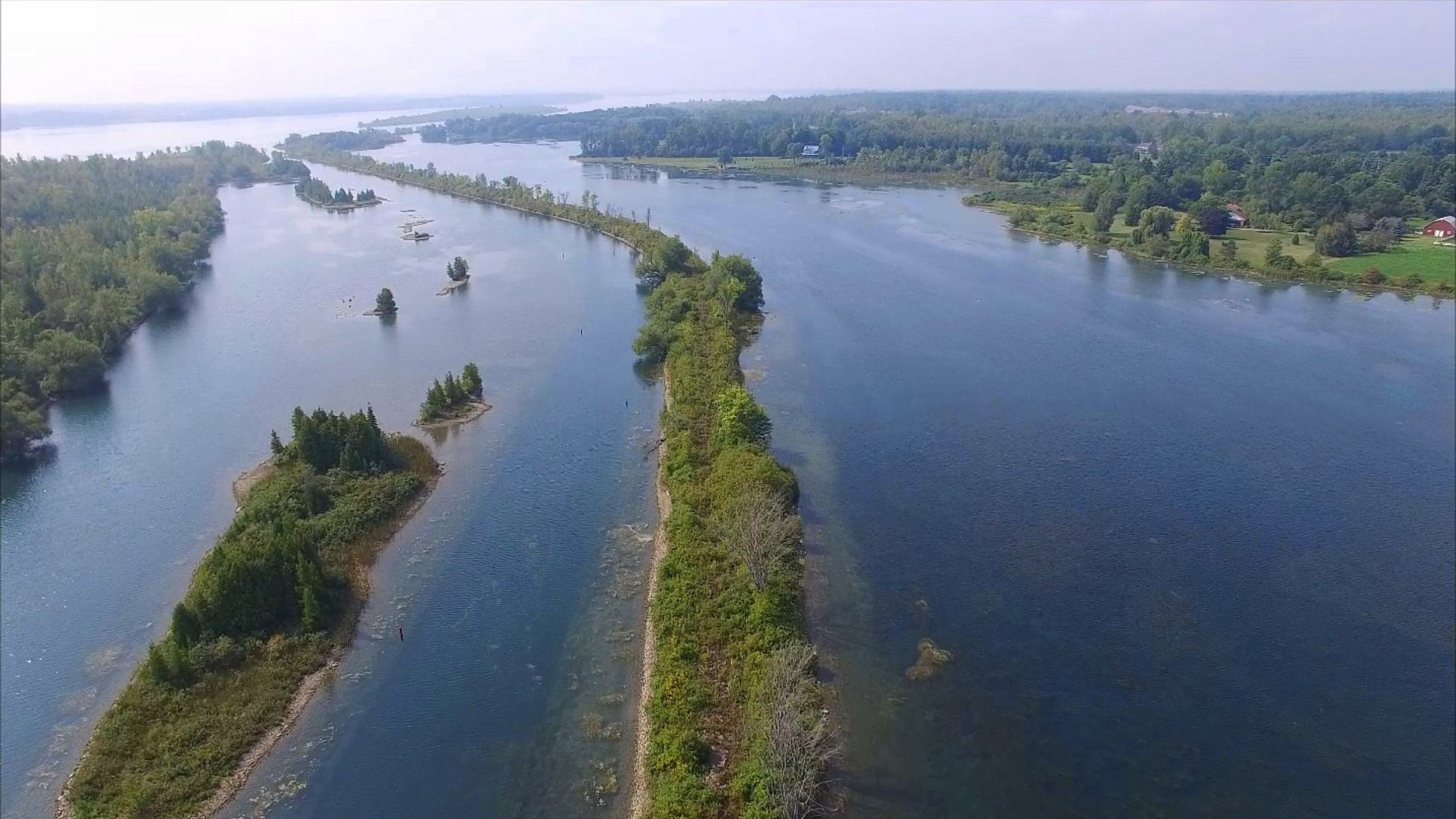
Above the Gallop Canal - From Iroquois to Cardinal
I was recently contacted to see if I could get some drone aerial pics from above the Gallop Canal from Iroquois to Cardinal. It seems that there are preliminary discussions about a project to create a bike path along the south side of the old Gallop Canal, between Iroquois & Cardinal. I think it is a great idea!
At first I was doubtful that I could help since Canada instituted drone flight regulations to prohibit flights within a 5.2 km radius of airports. Iroquois Airport is there right at the east end of the Gallop Canal. However, I found several flights that I made before the rules came into effect (from 2015). So here are some good screen shots from these videos. I hope they are helpful!
I will add some pics from the west end near Cardinal, flying from points more than 5.2 km west of Iroquois Airport later.
25 HD pics taken 5 years ago on a beautiful June day in 2015 -
(BEFORE they prohibited drone flights within 5.6 km of the Iroquois
Airport.)
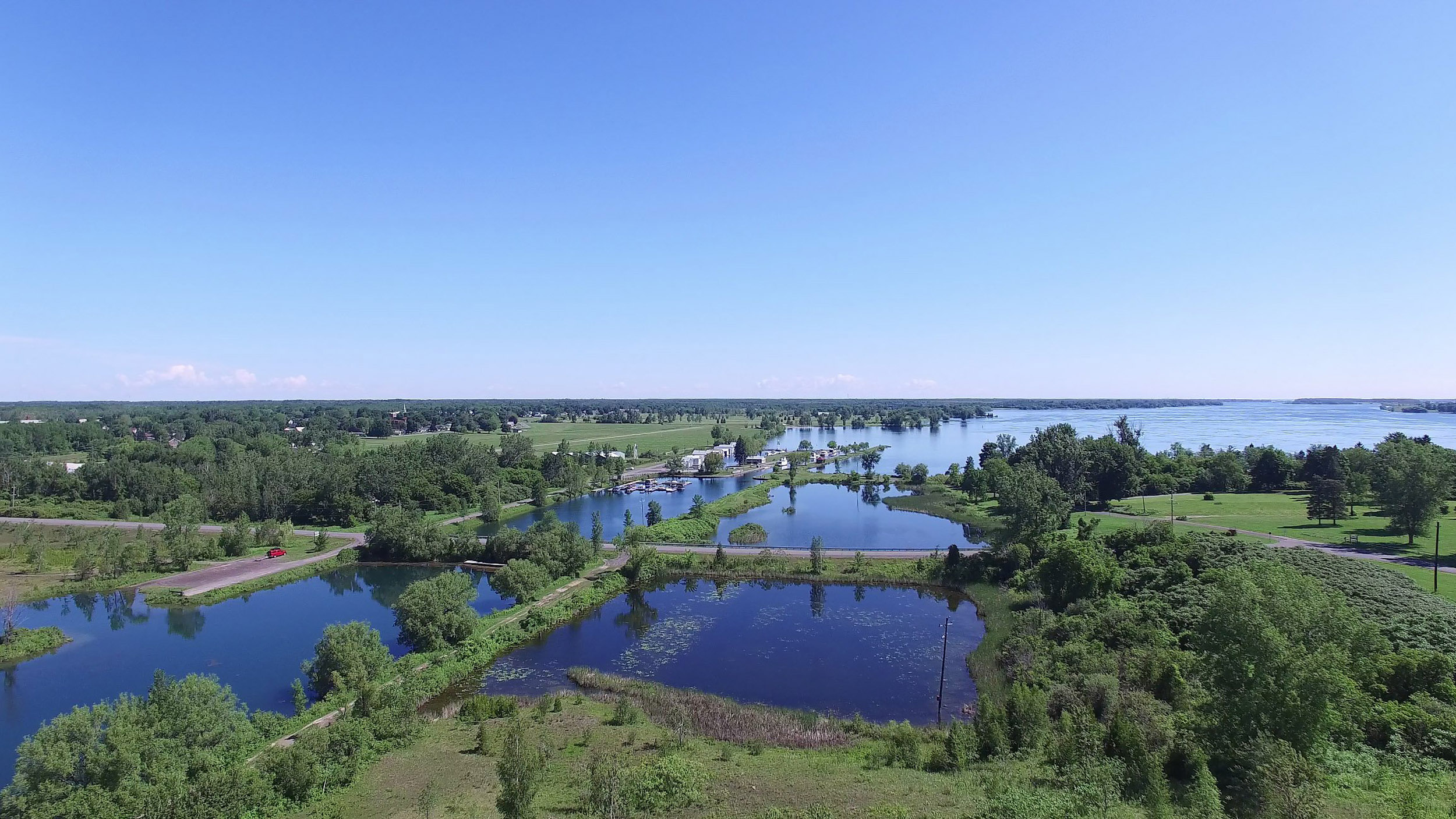
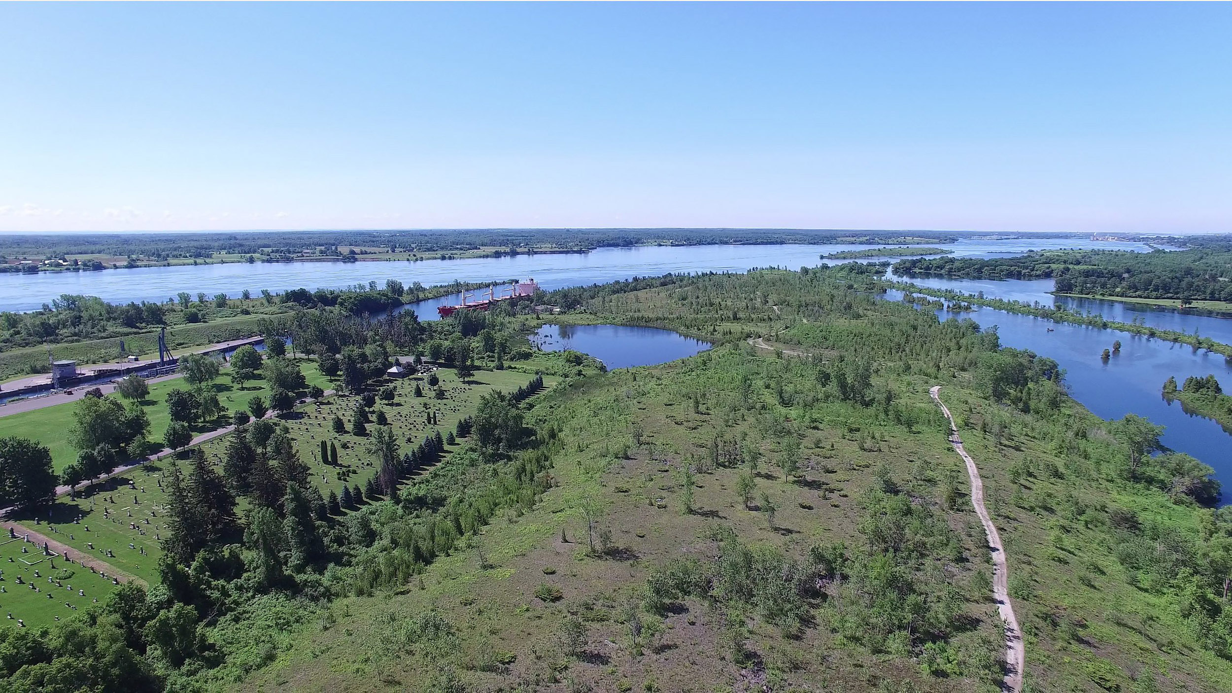
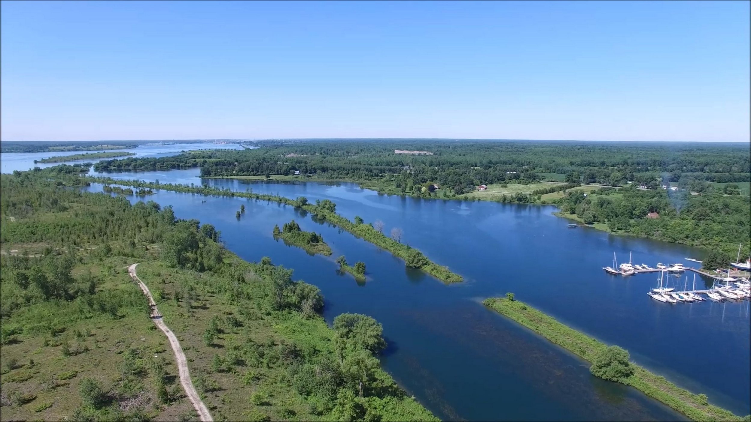
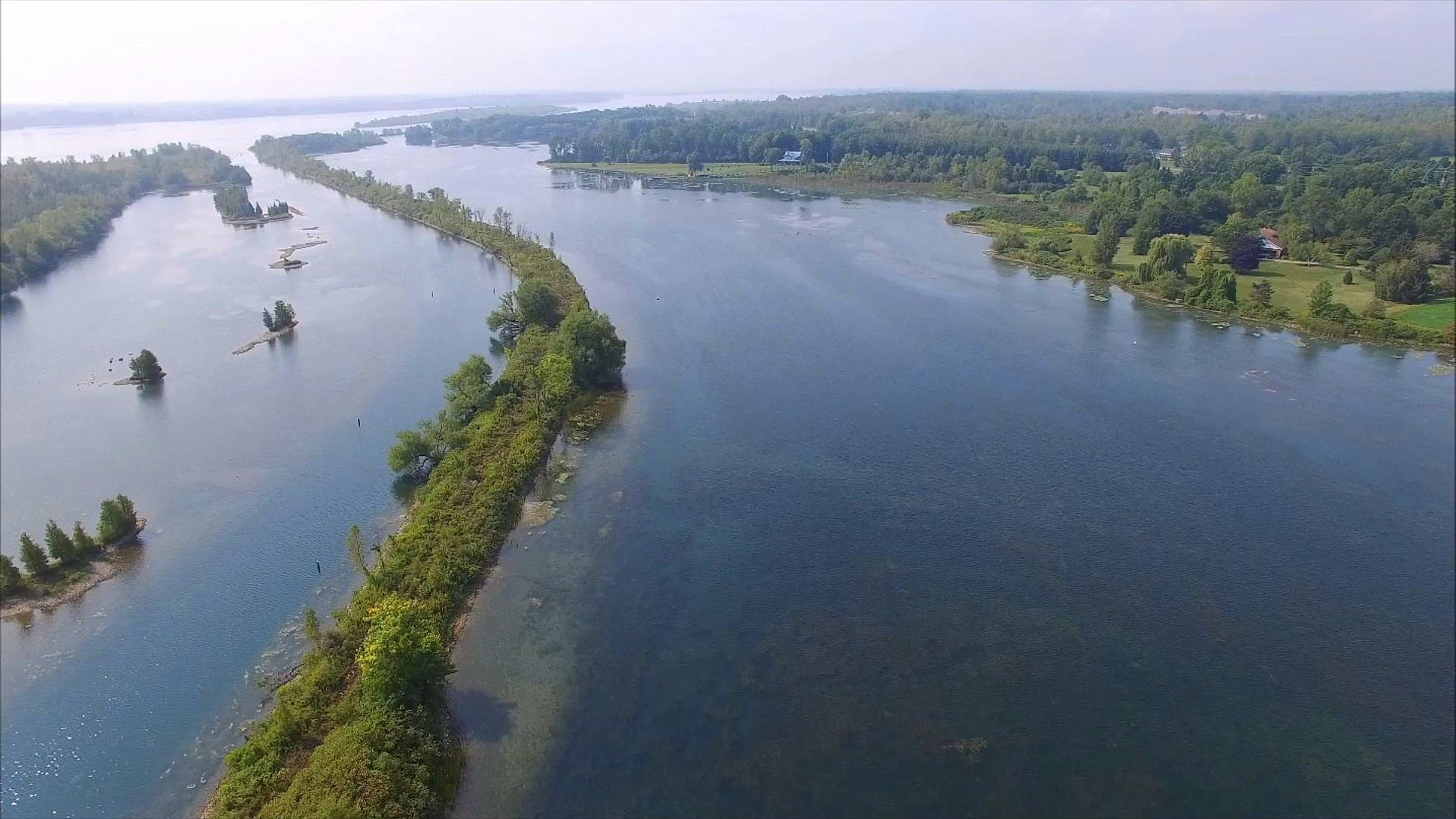
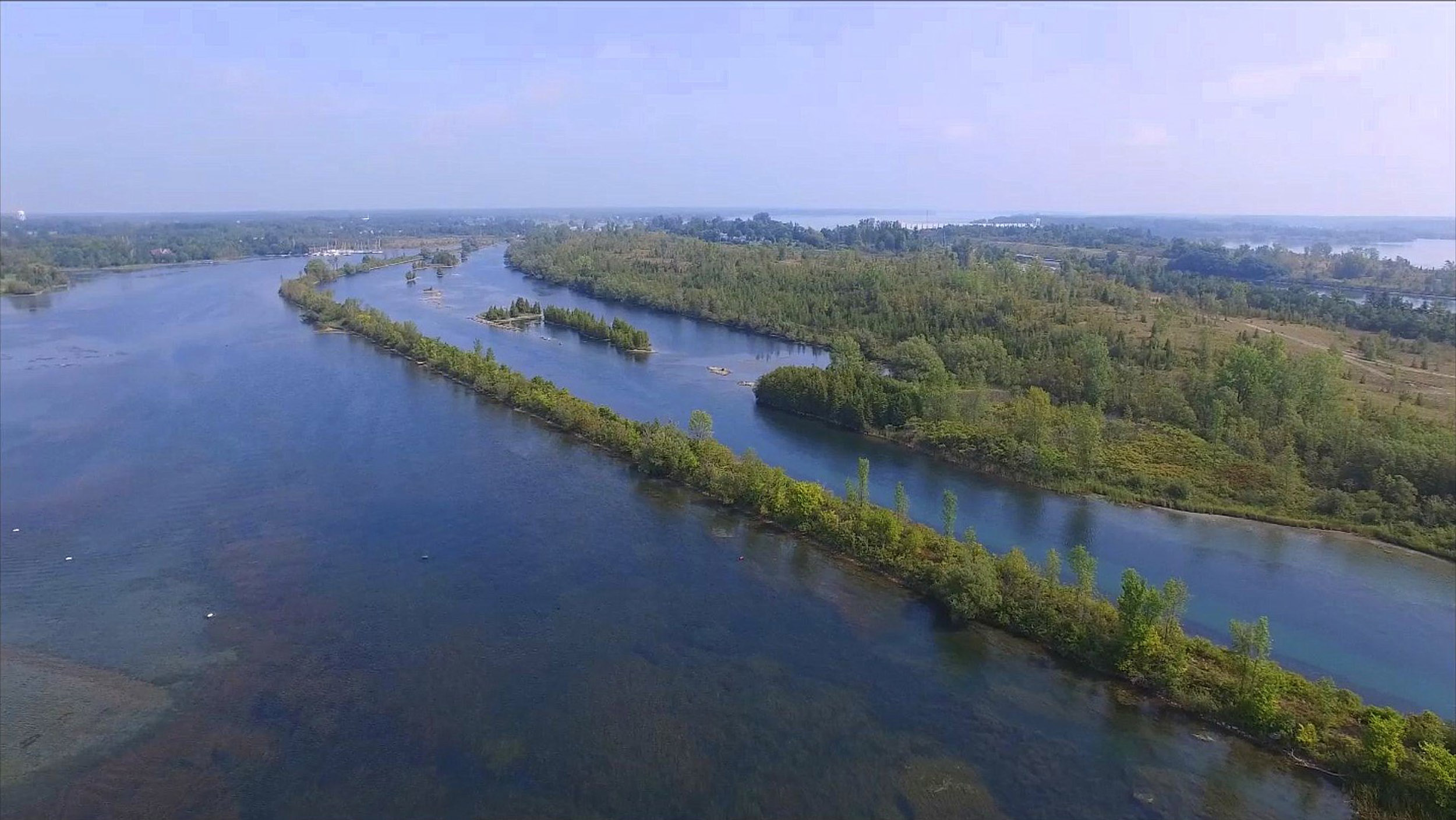
Looking East towards the causeway to the Iroquois Locks
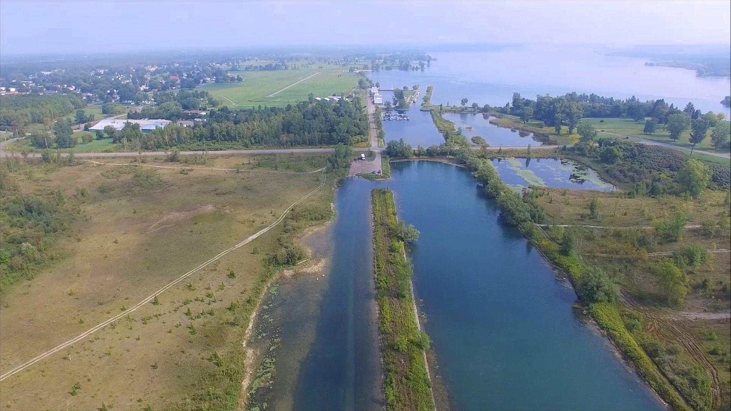
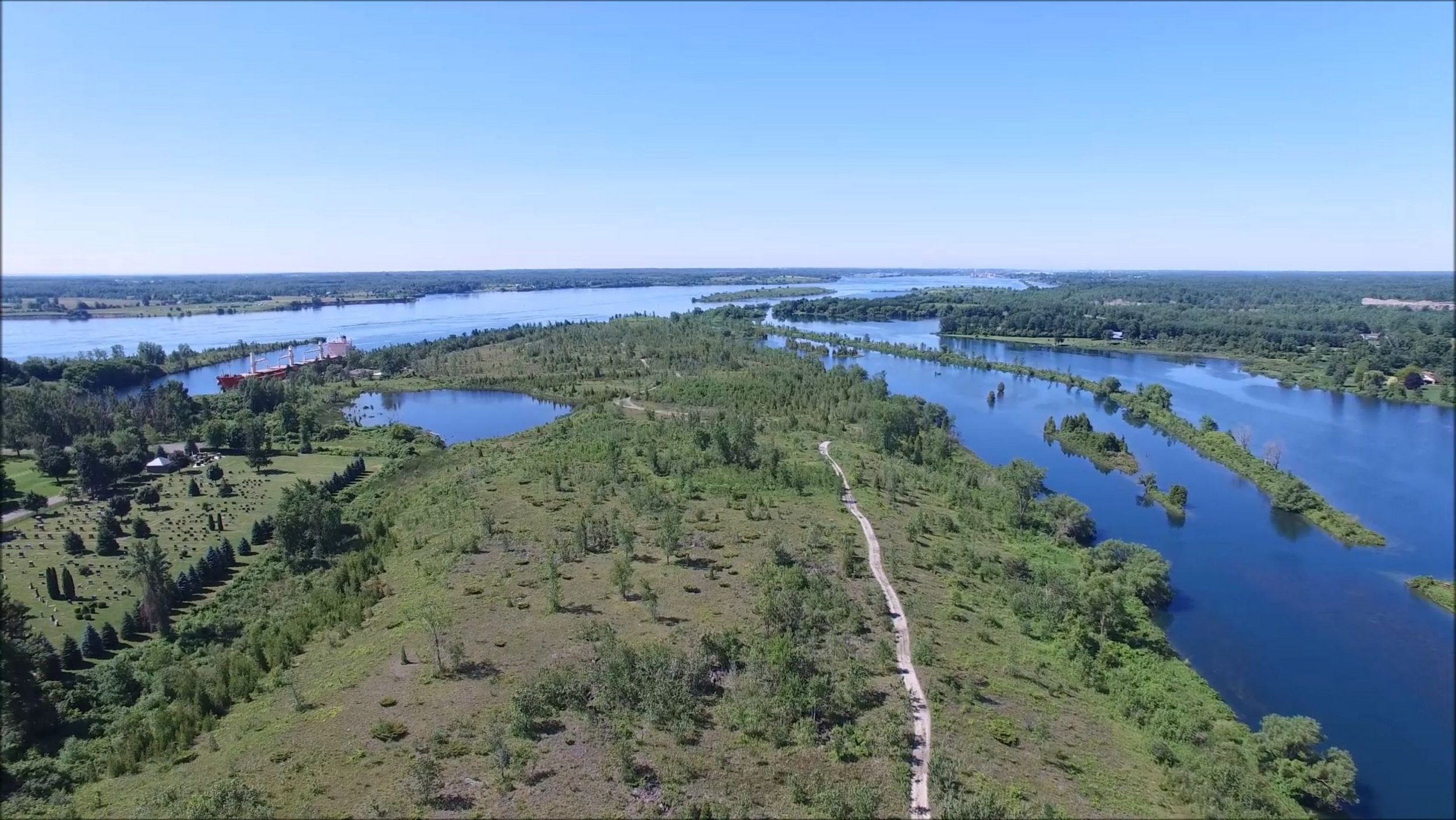
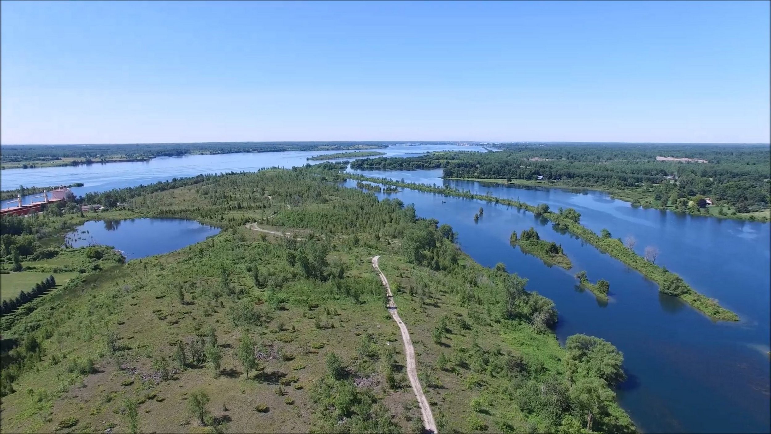
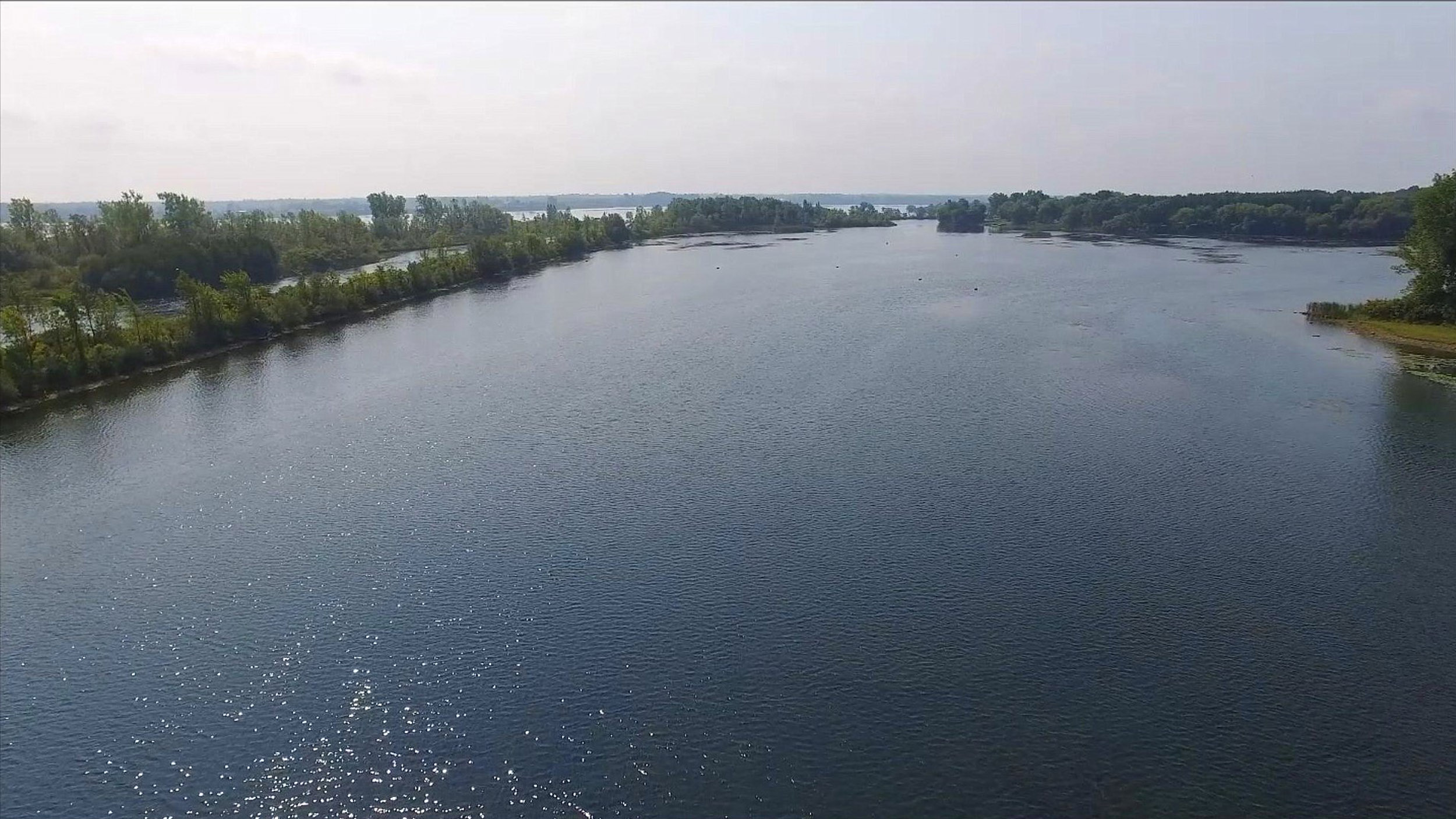
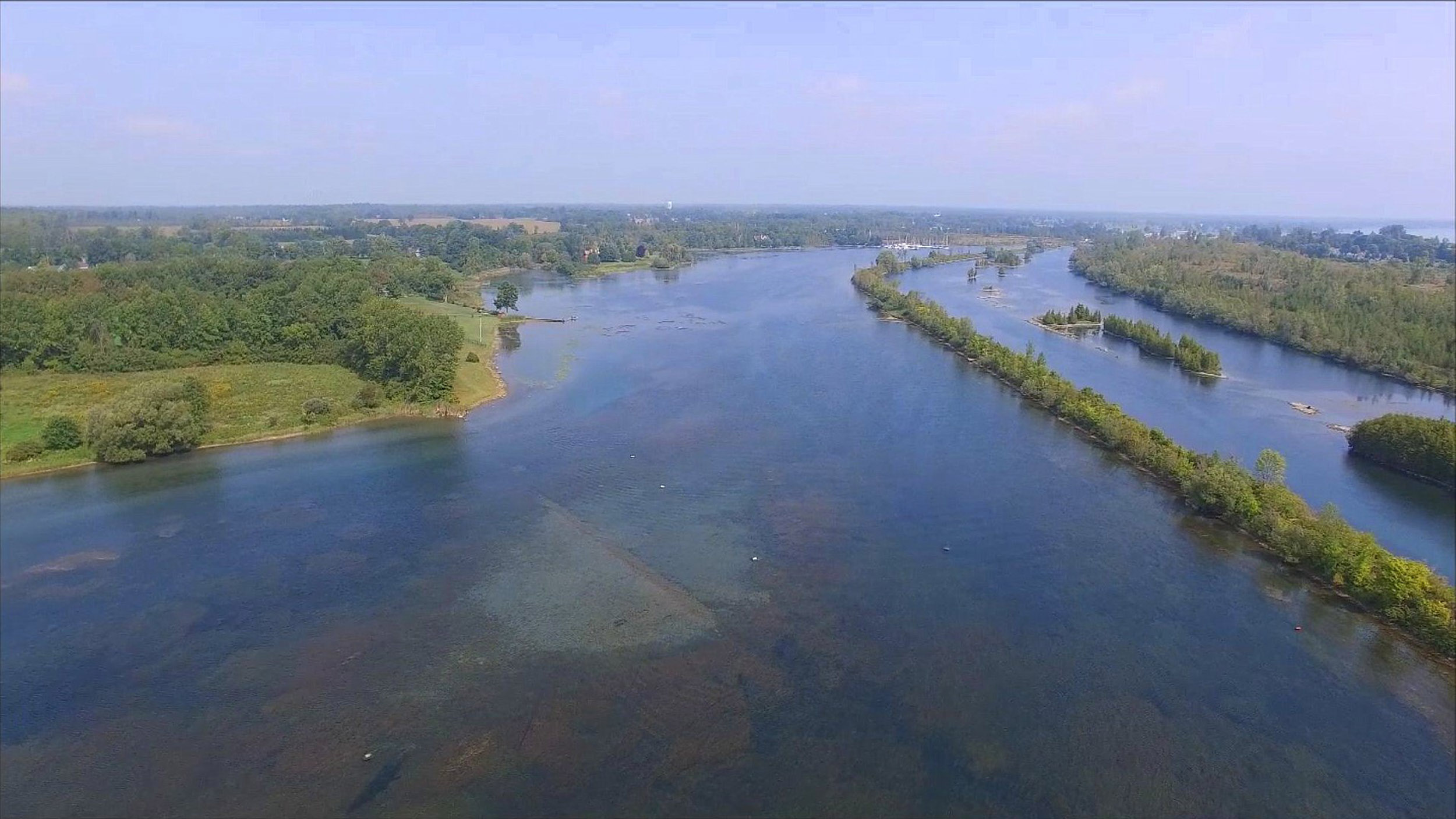
Looking West towards Cardinal
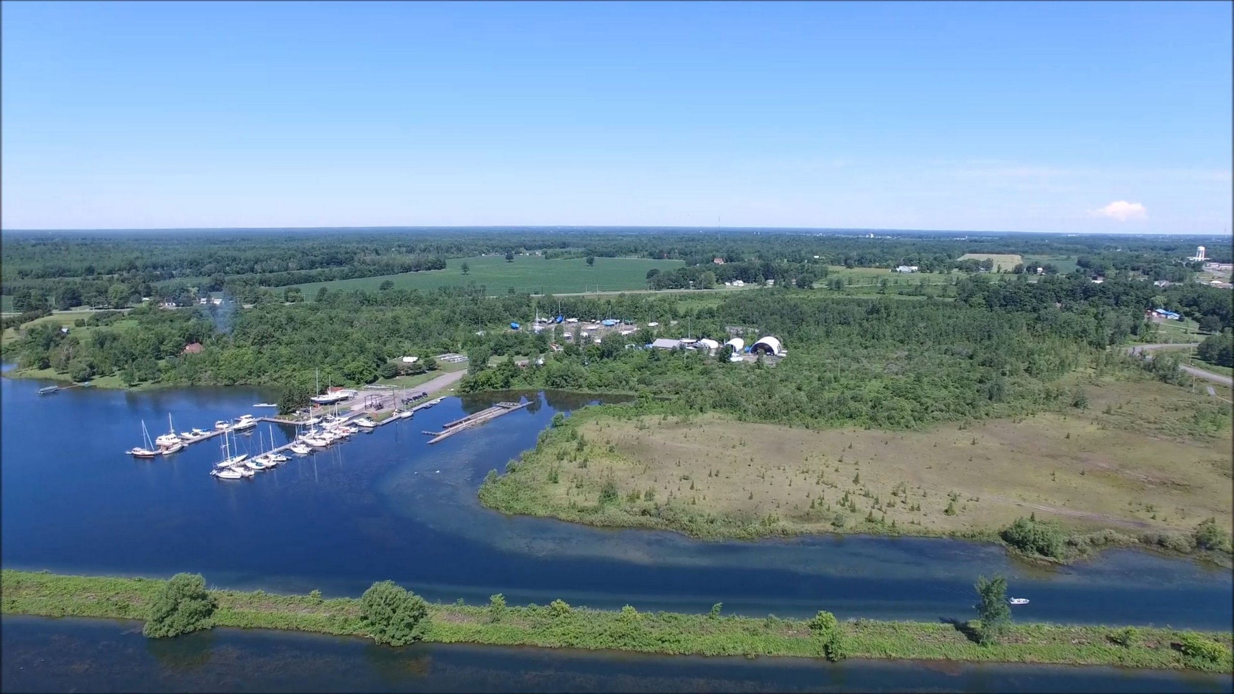
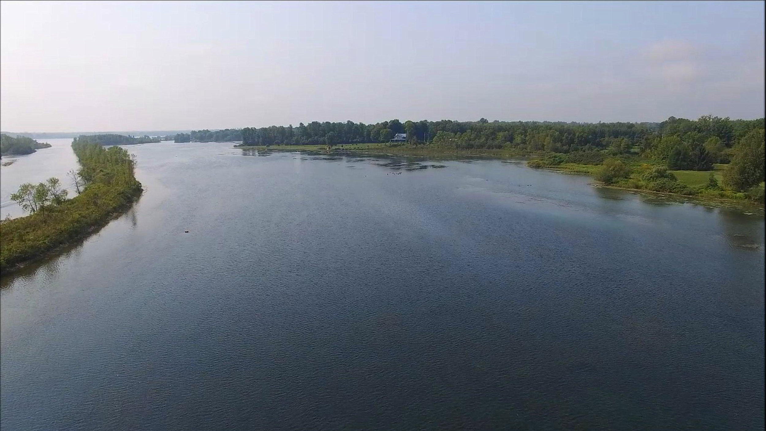
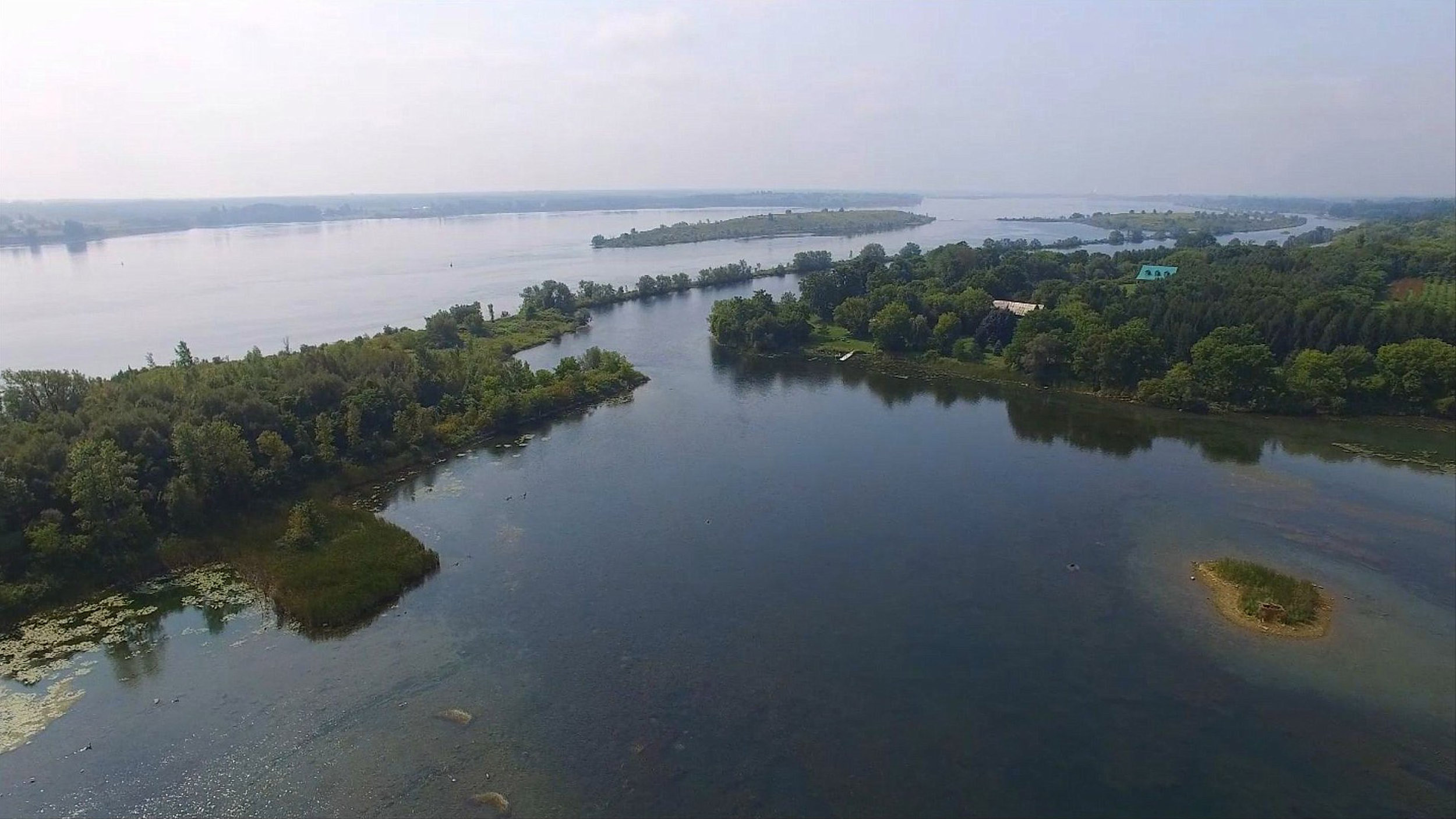
Looking North to the Marina
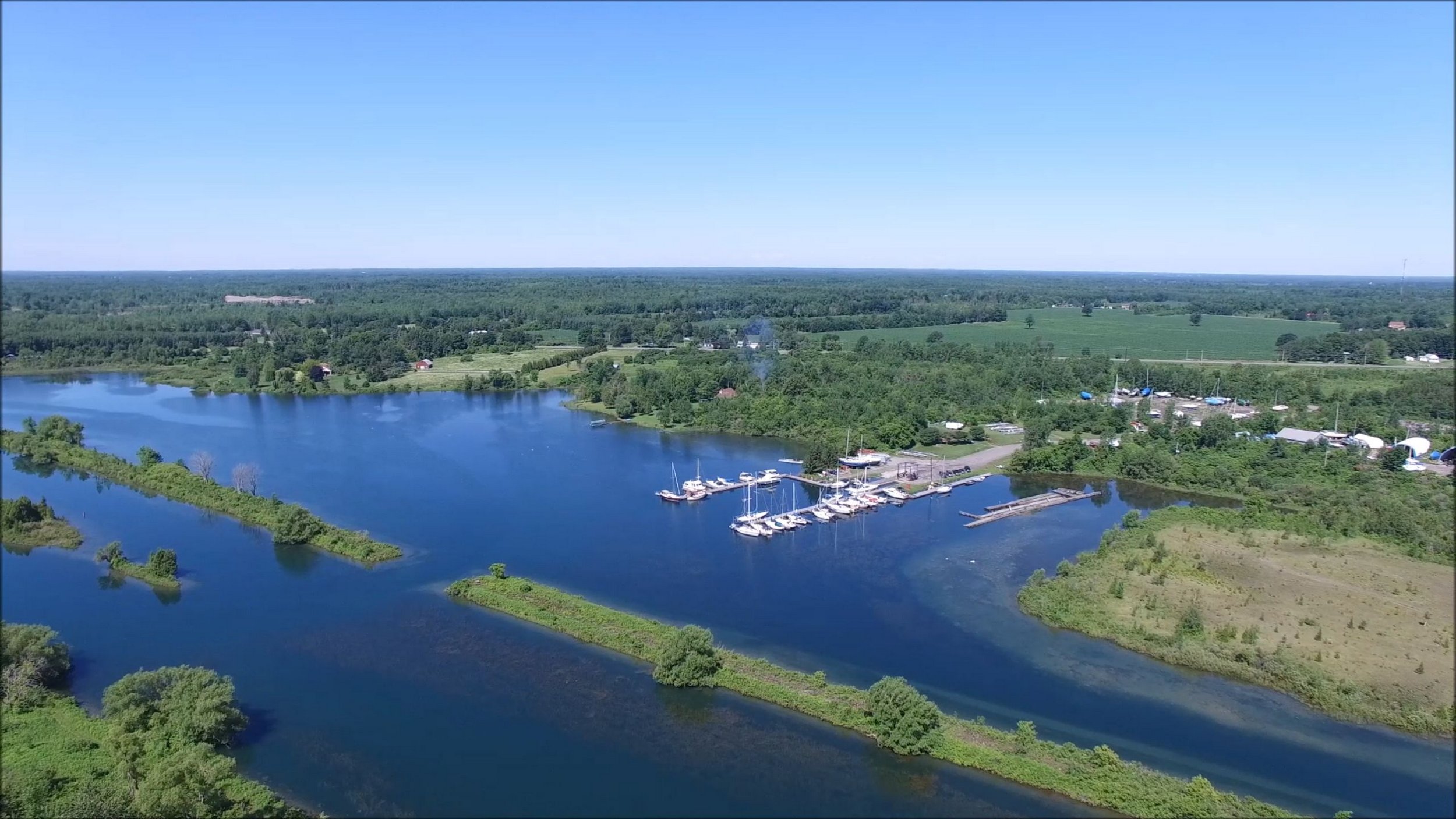
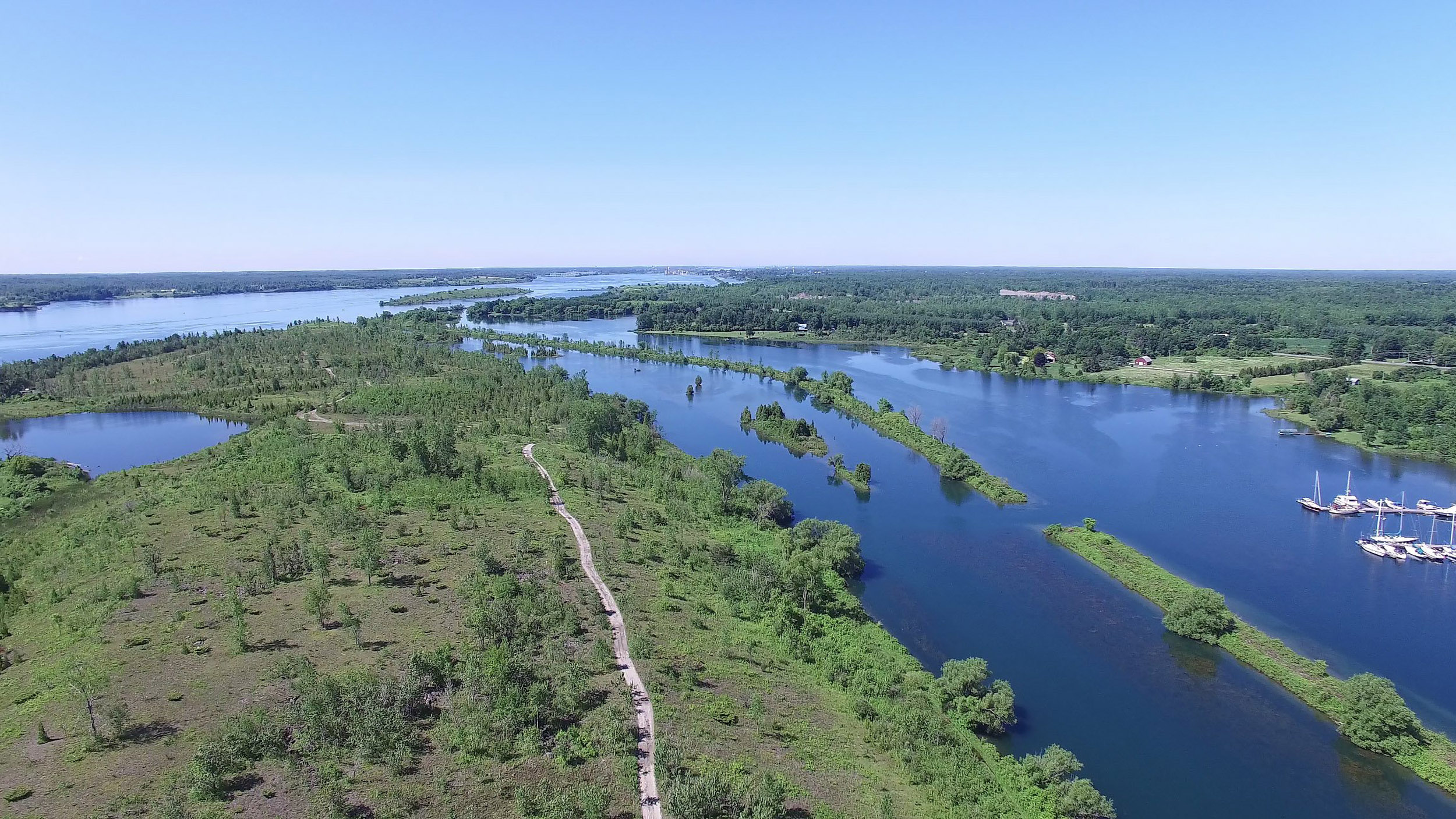
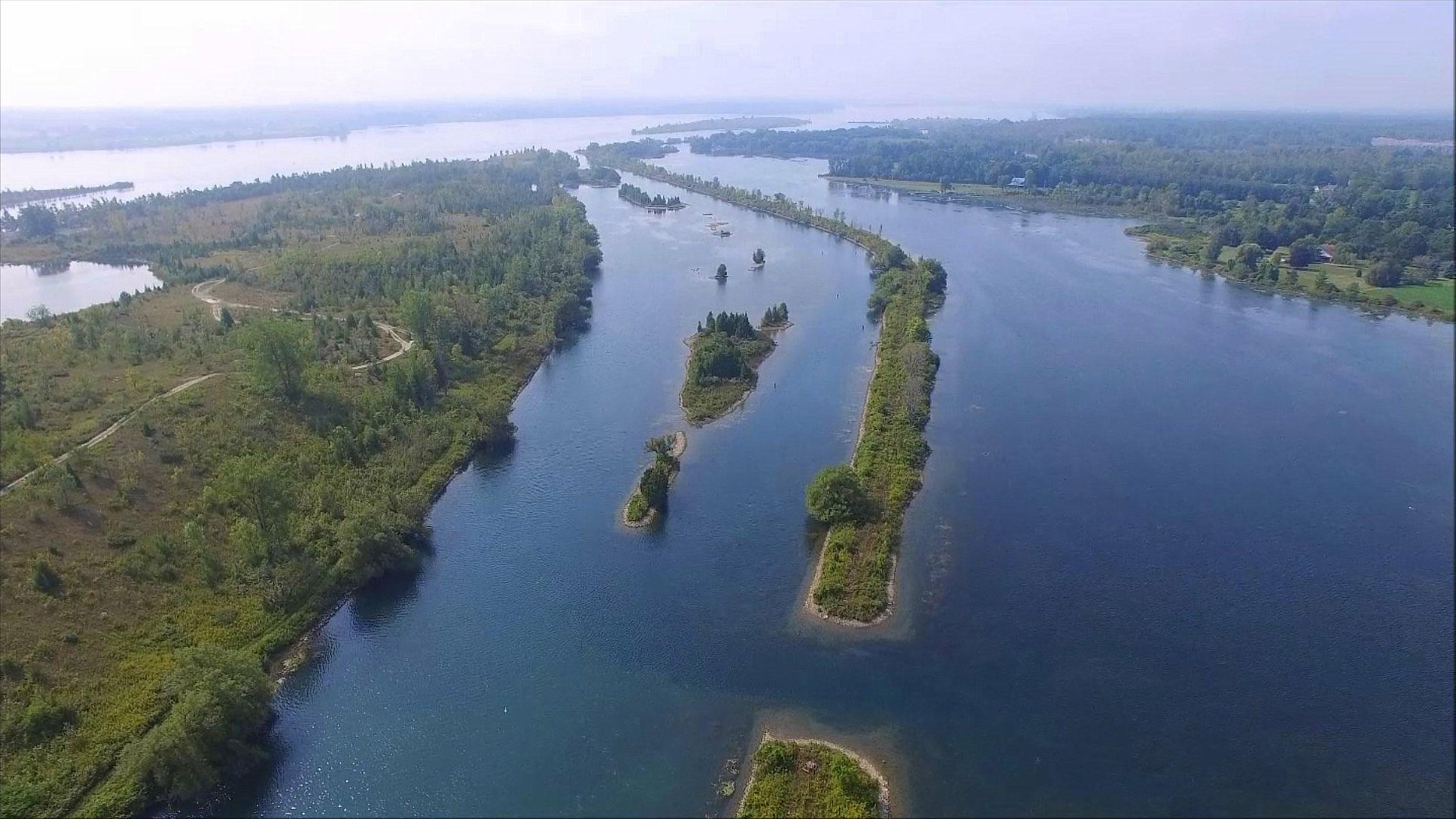
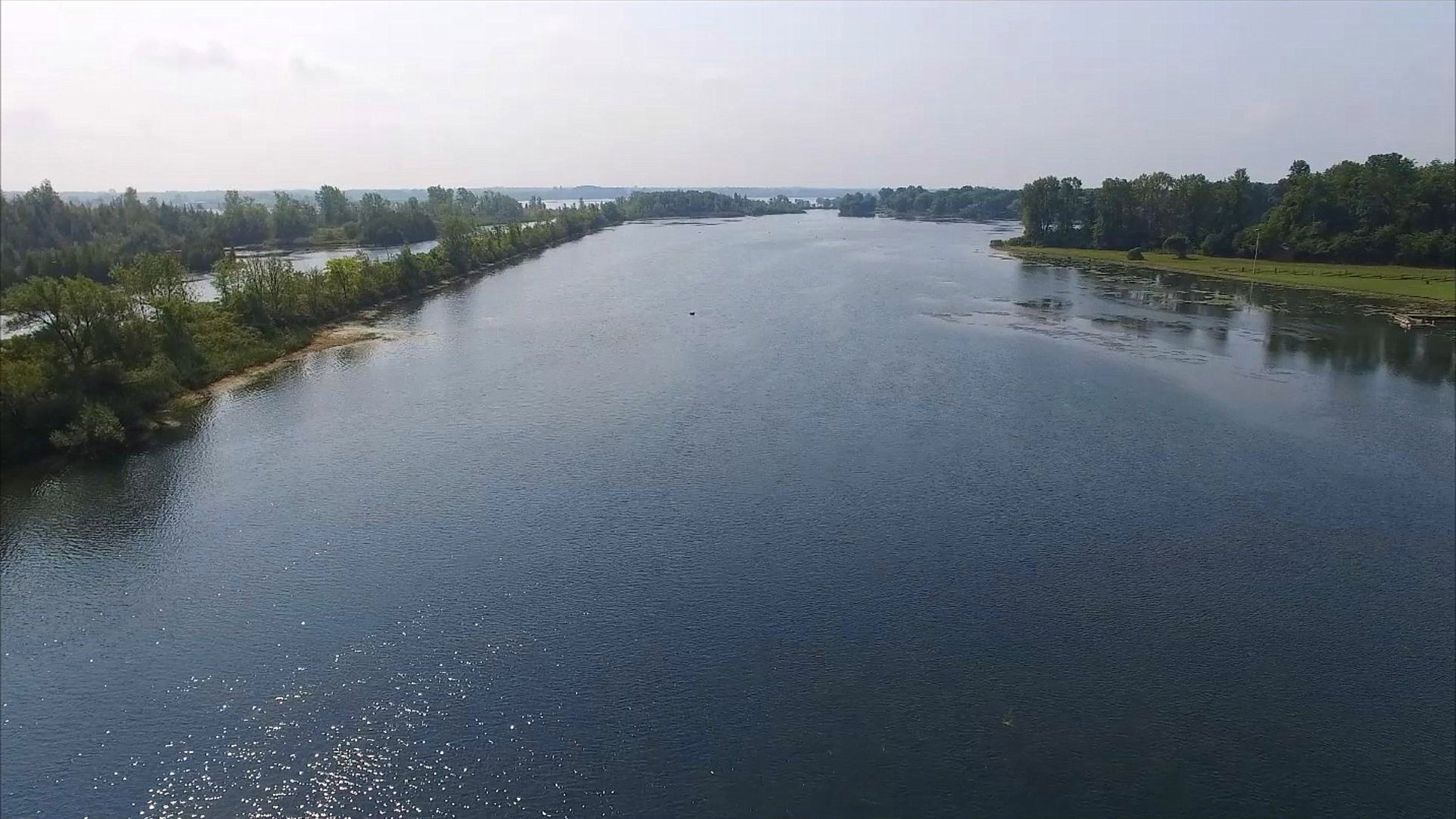
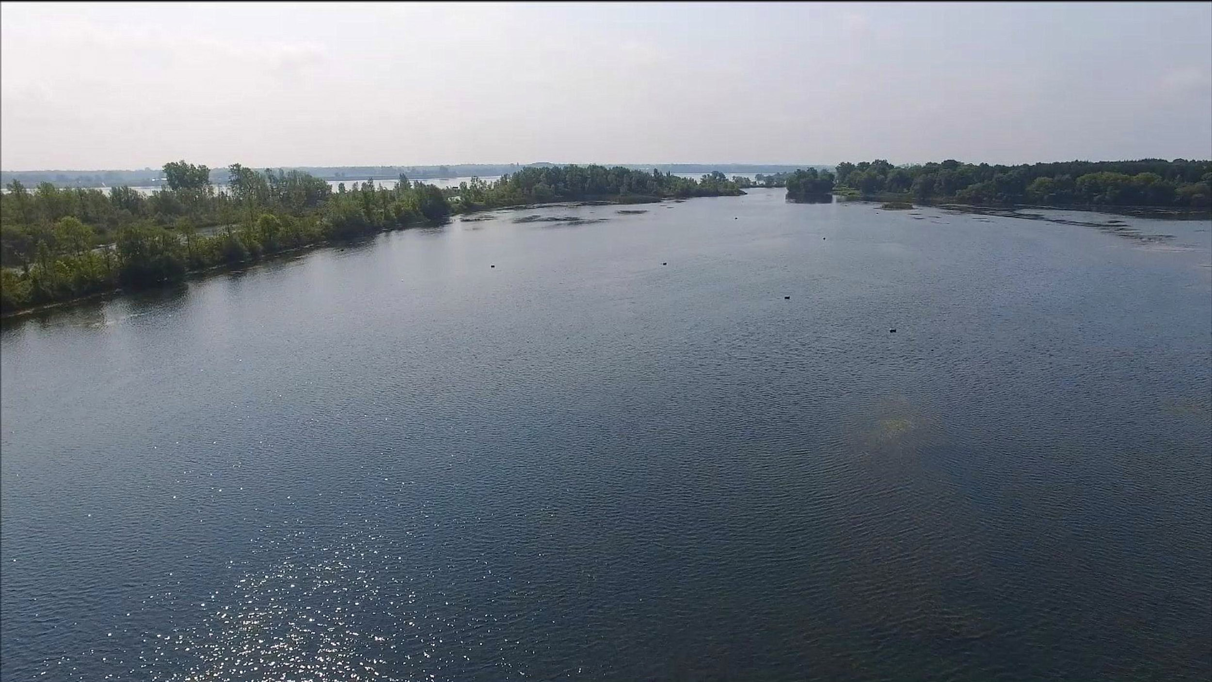
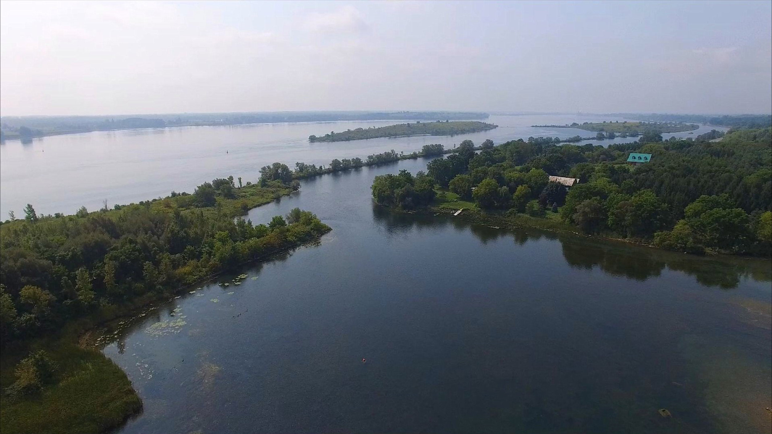
Heading West again

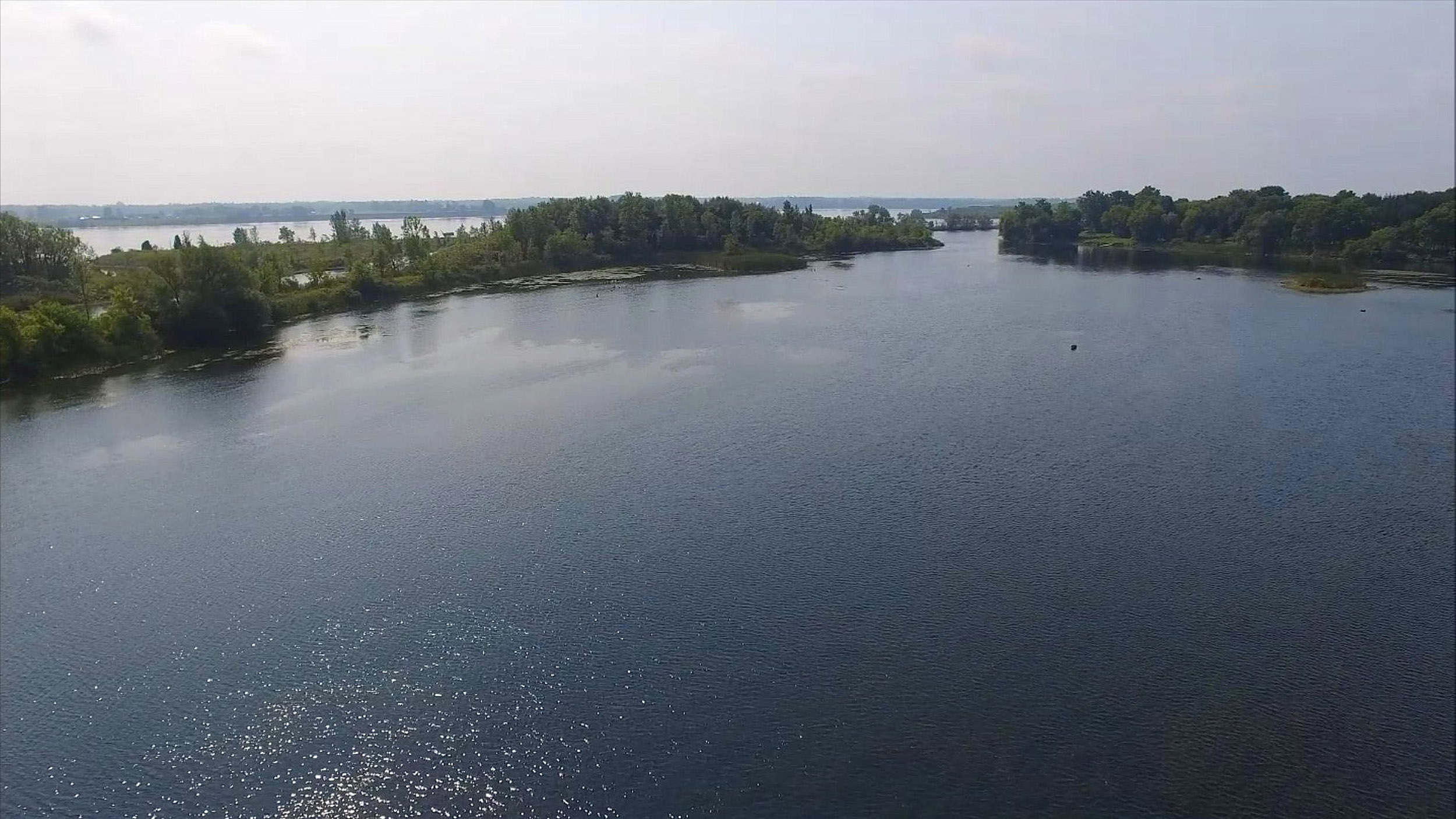
Looking back towards Iroquois
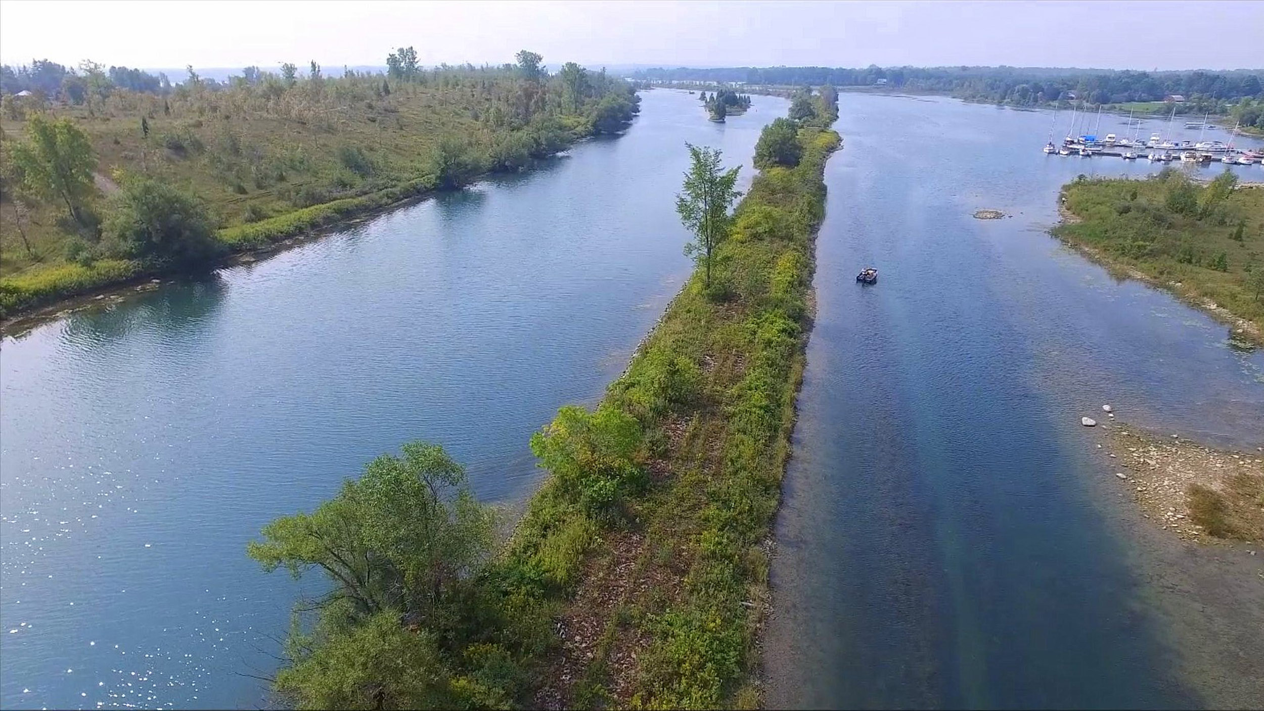
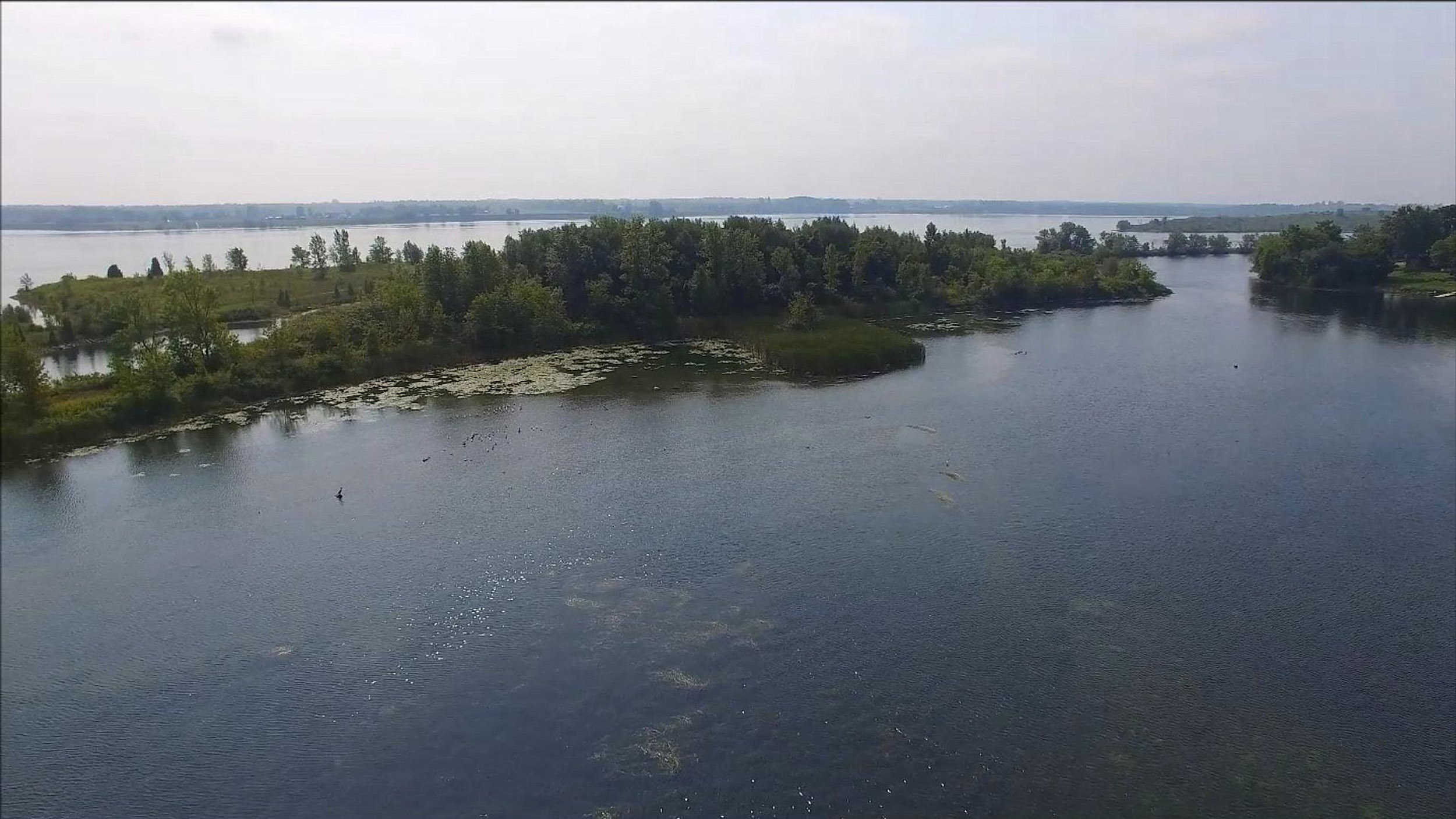
Towards Cardinal
Two Original Flight Videos from 2015