| Home | Galleries | Links | Contacts | About Us |
2026 Site Updates - Latest First
In June of 2026, after more than five years taking a rest from updating the stlawrencepiks site, I have decided to start doing regular updates again. I have been inspired by my research and experimentation trying out the capabilities of new Artificial Intelligence (AI) software now available. Quite easy to use, with suprising good results for image restoration and colourizing!
And Now the Latest:
October 12, 2026 - Highlights from Seaway History External Links
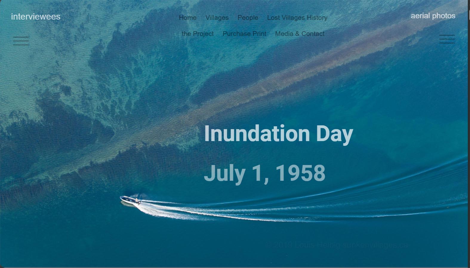
I found this link gives particuarly interesting perspectives!
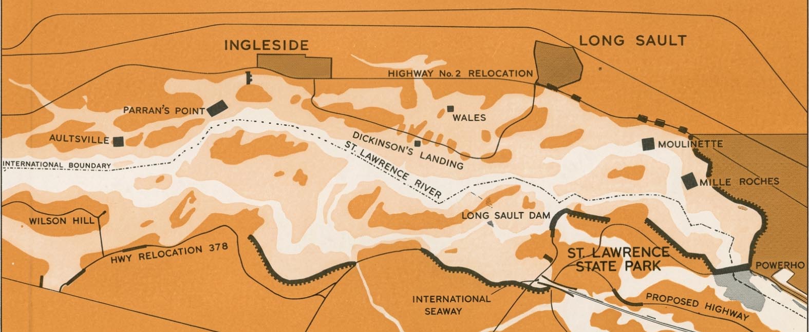
1000 Islands Life Website - a nice clear map of the location of the Lost Villages & MUCH MORE!
October 10, 2026 - Reviewed and Updated External Links for Seaway History
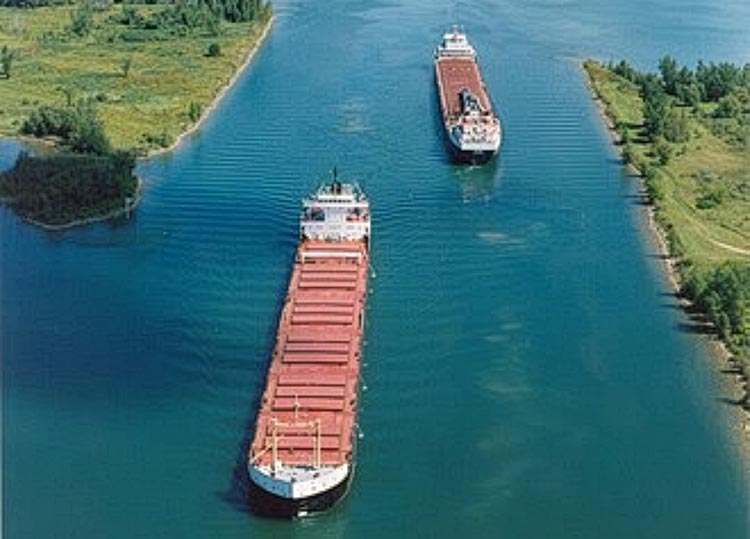
CLICK ABOVE. There are some really interesting links here, including a good Wikapedia Page.
Warning: If you are really interested in the topics, they could keep you occupied for many hours (it did me).
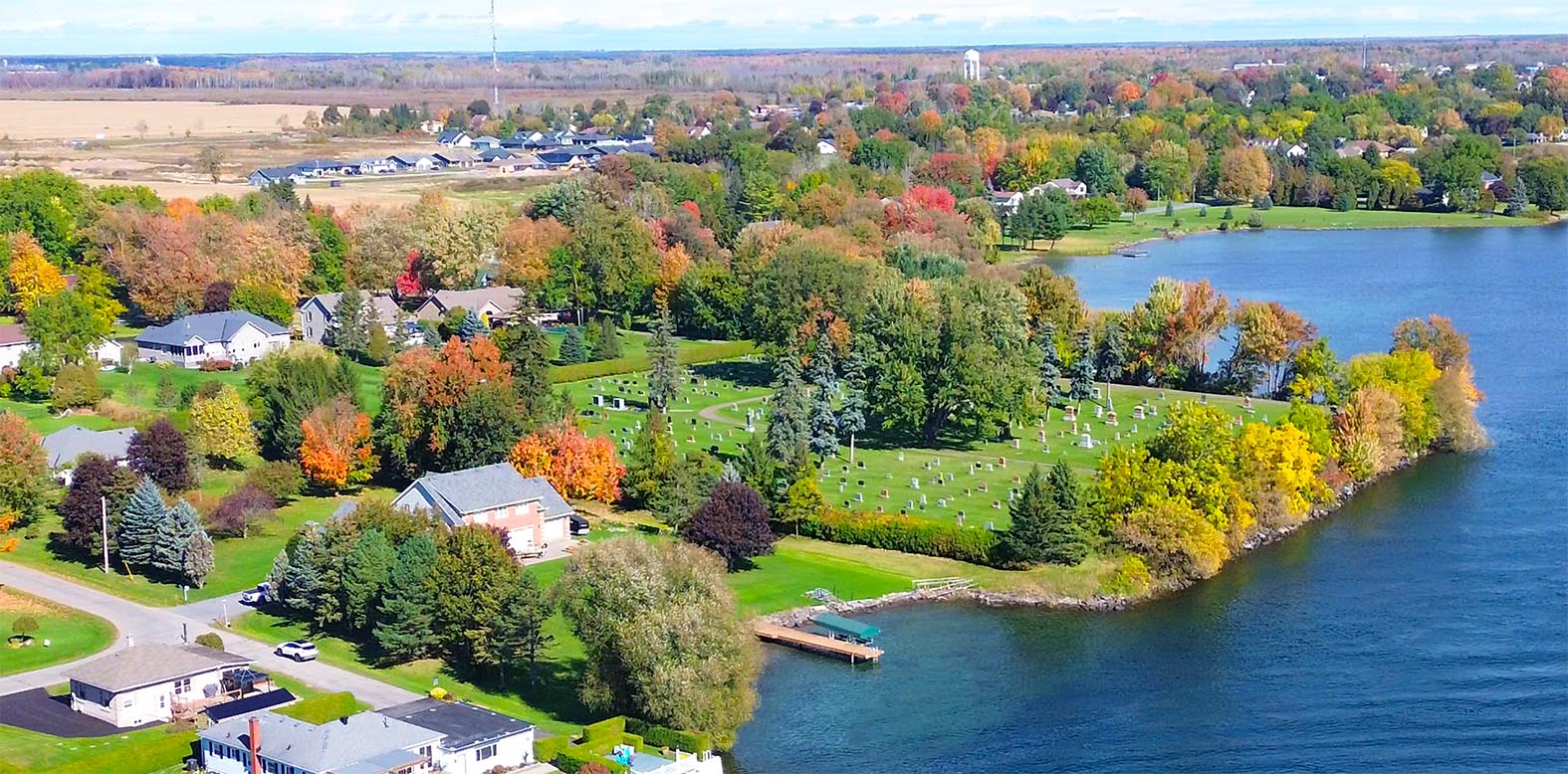
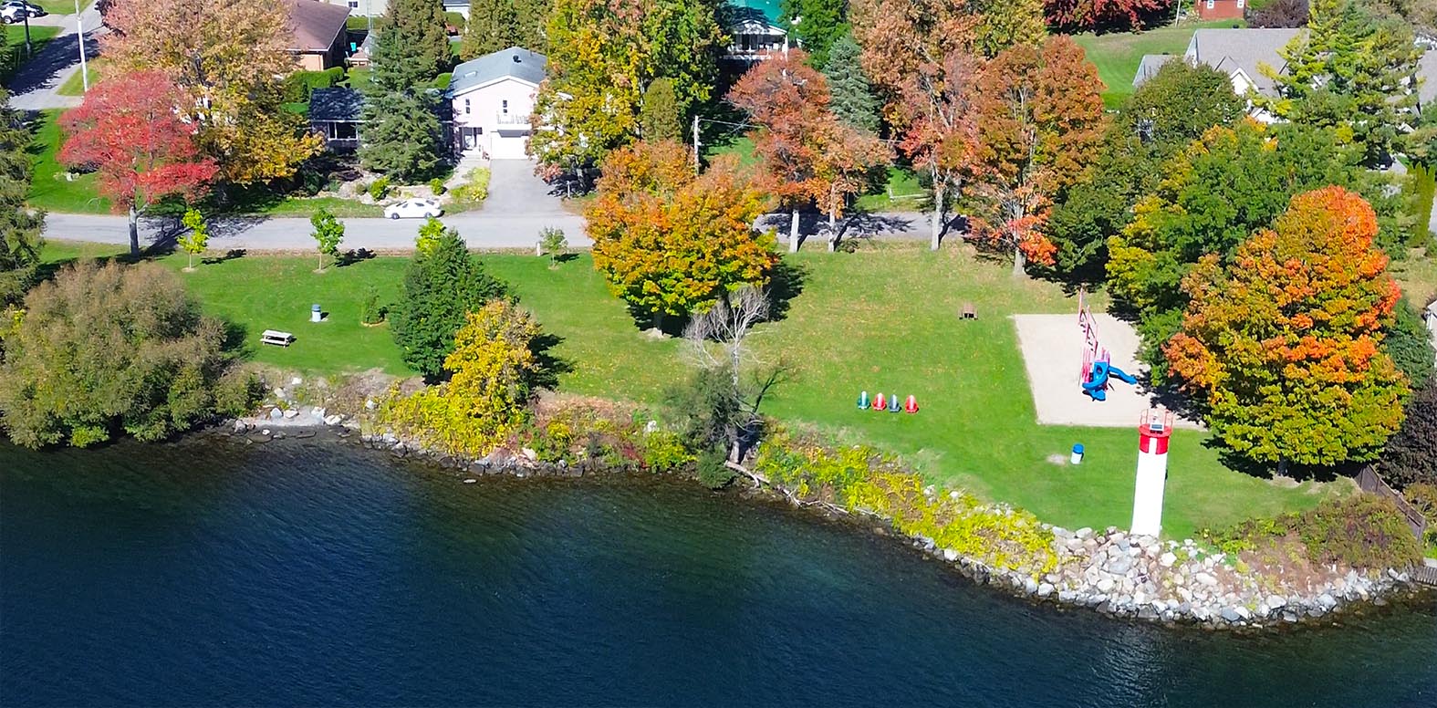
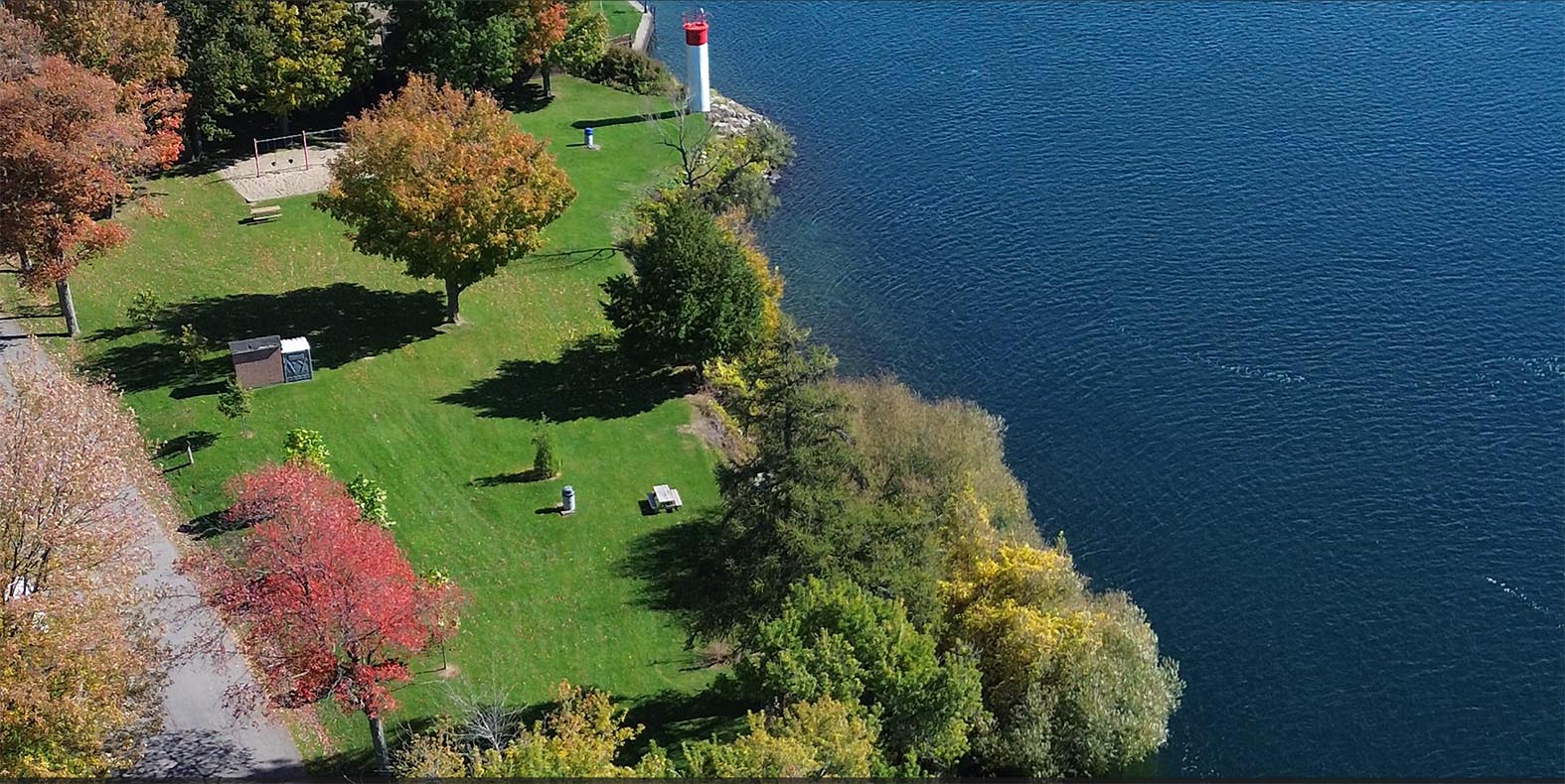
October 10, 2026 - Fall Colours along the Mariatown Waterfront
October 9, 2026 - Following Algoma Guardian as it passes Mariatown
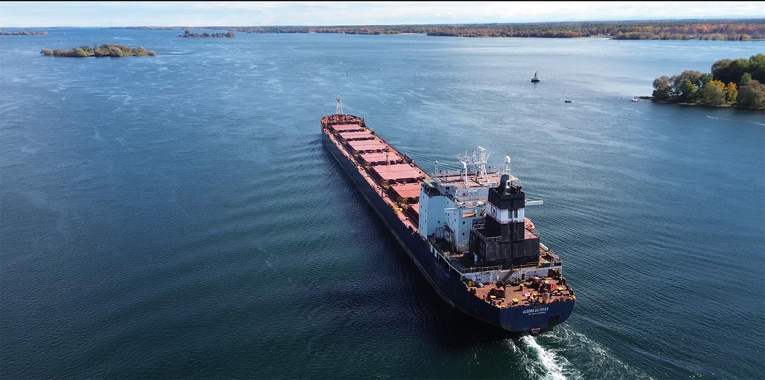
CLICK to see all of the pics and the Flight Video
October 2, 2026 - Lost Posts Return (from 2020 and 2021).
When I started updating the St Lawrence Piks website in June 2026, I decided that I needed to clean up the Home Page so I deleted these post from 2020 and 2021, intending to add them back in a different page.
Well, here they are - mostly related to the St Lawrence Seaway. Take a look - I think there are some really special ones! Here are a couple of examples: Click below on the pics to see what I mean!
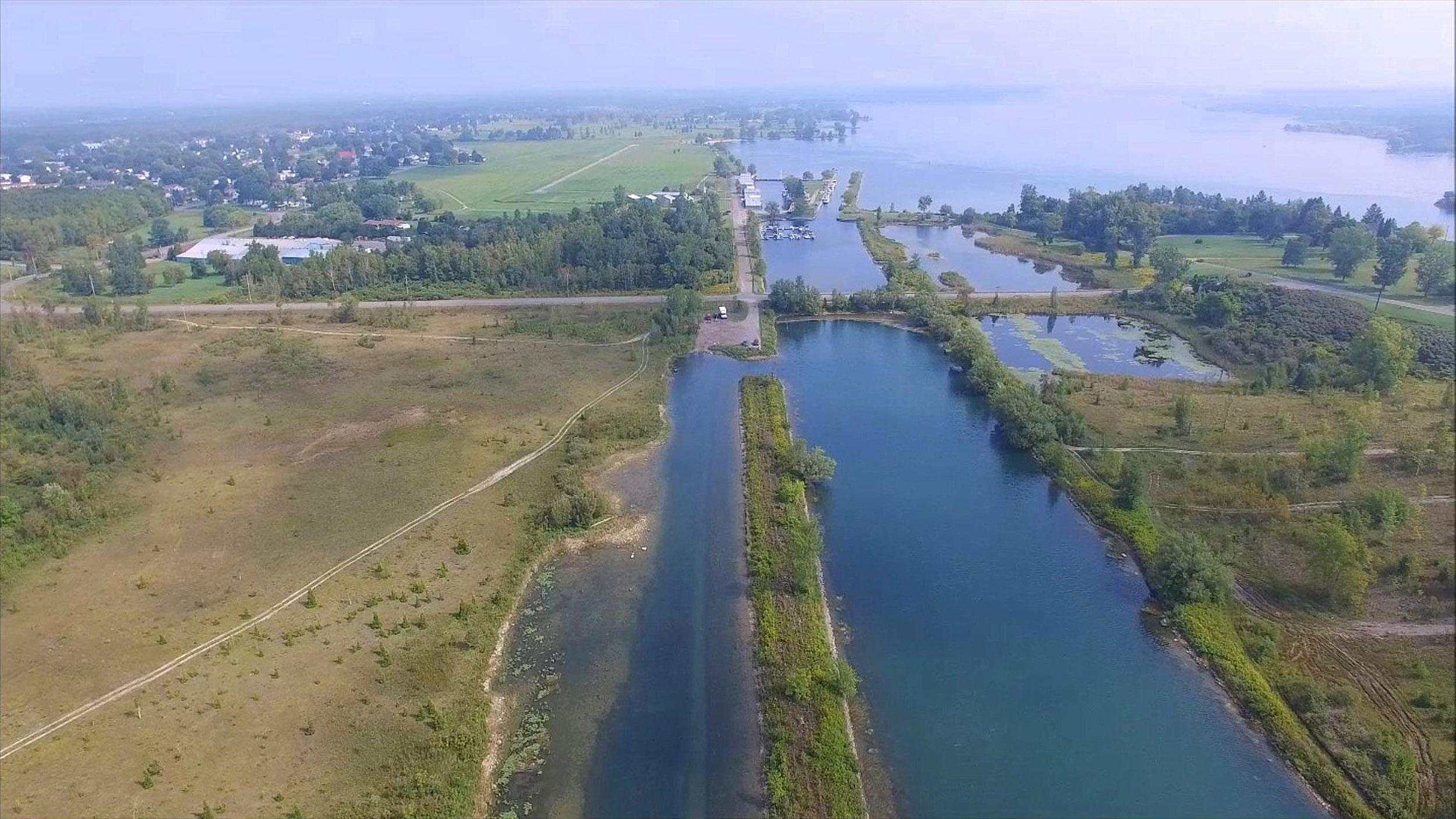
Iroquois Island Flyover (when it was still permitted in 2015)
.jpg)
What Lock 23 Looks (Looked) Like - Incl. Divers Views
To see them all CLICK HERE.
Sept. 30 IVER AMBITION Passes the Morrisburg waterfront and Loyalist Park On the way upriver towards the Iroquois Locks
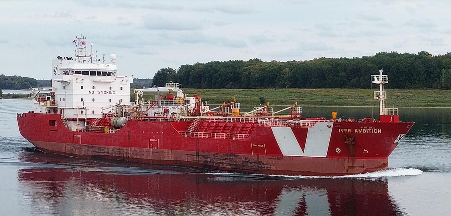
CLICK to see 2 Flight Videos and 8 HD Pics
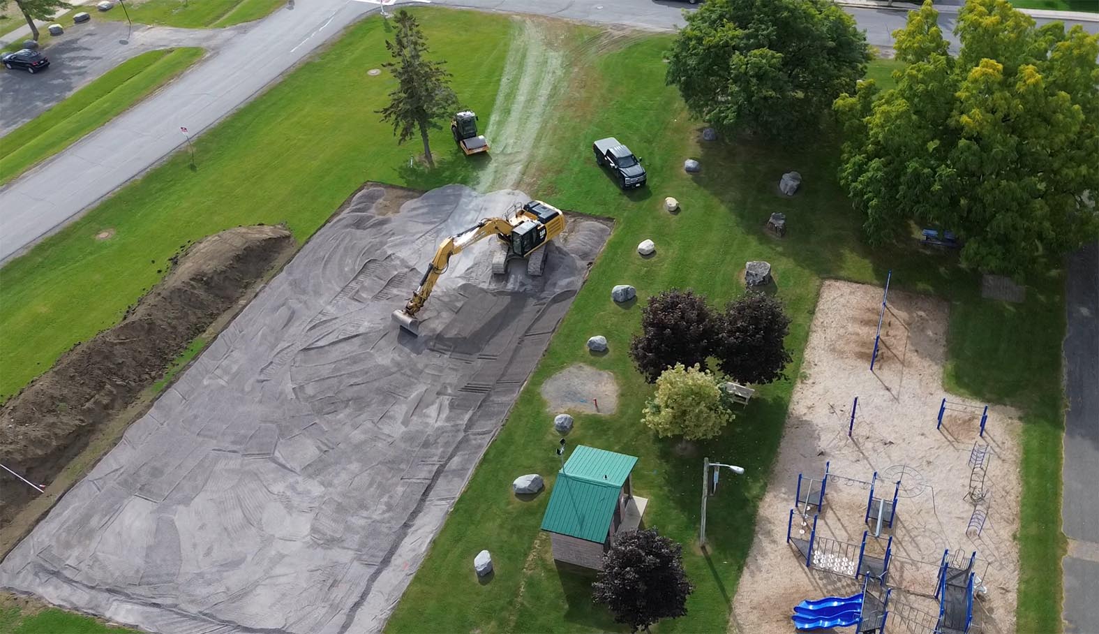
Sept. 29 - Sports Pad Ground Breaking
In Earl Baker Park - Next to the Playground
See Earl Baker Park Multi-Use Pad Project | South Dundas for more info. Their Facebook Page
CLICK HERE or on the picture below for more Pics and Flight Videos.
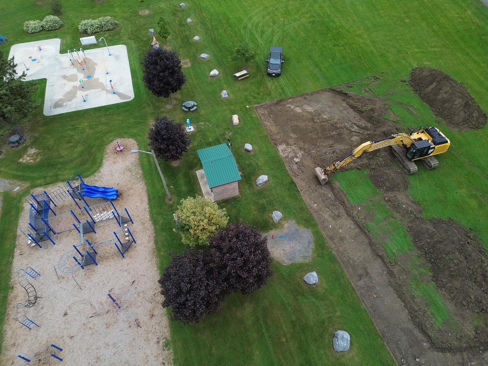
And Now Pictures and Flight Videos from Day 2 - 30 September, 2026
Sept. 18, 19 - Dedication of Morrisburg War Memorials in New Location
The Morrisburg Veterans Walk Project has involved relocating and rehabilitating the various cenotaphs and memorials to Canada’s military conflicts from World War I to present that were in and around Morrisburg, and relocating them to the Morrisburg Waterfront Park. A memorial walkway has also beeen constructed, and lighting will be installed soon to illuminate the area year round.
CLICK HERE for more information.
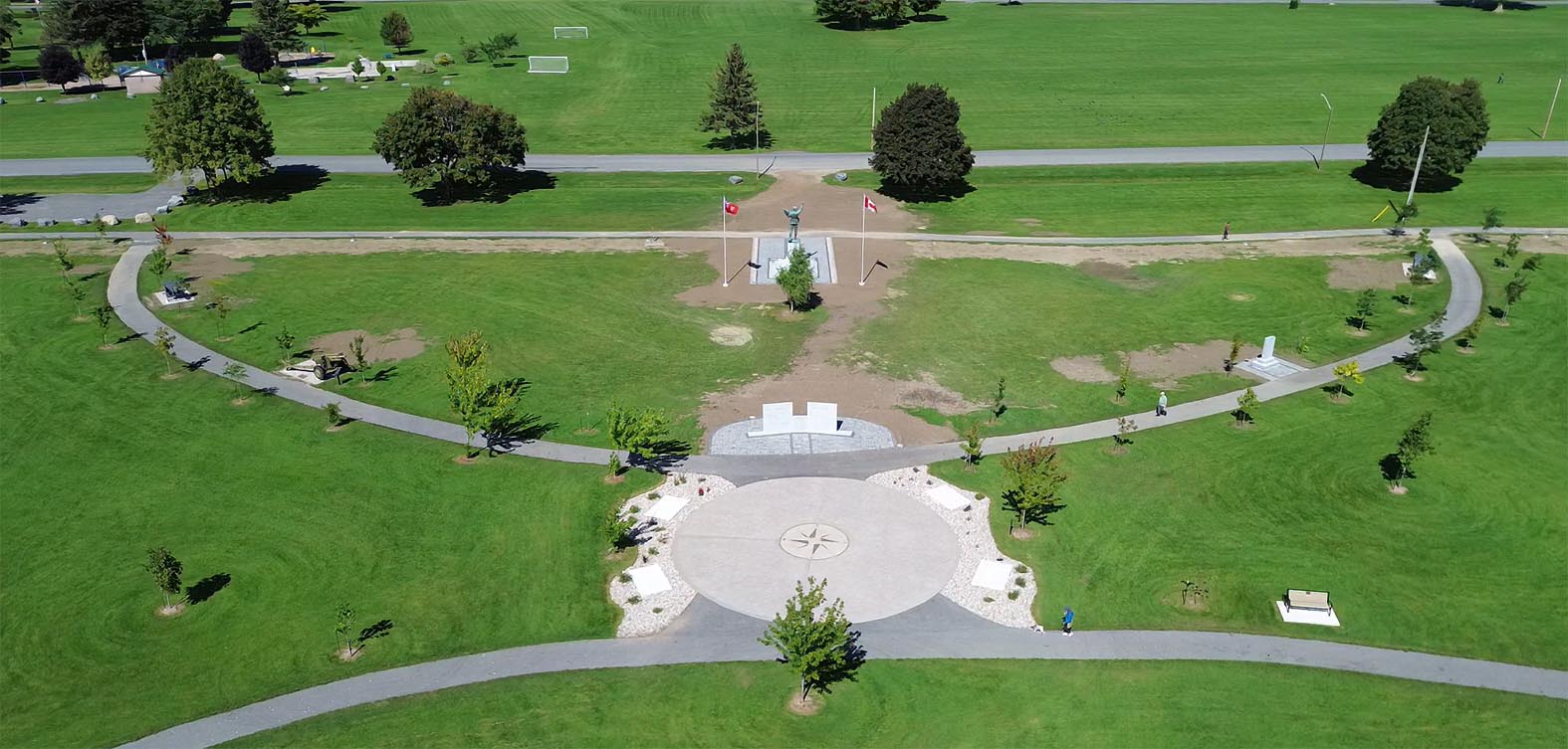
Memorials in their new location - taken the day before the Dedication Ceromony
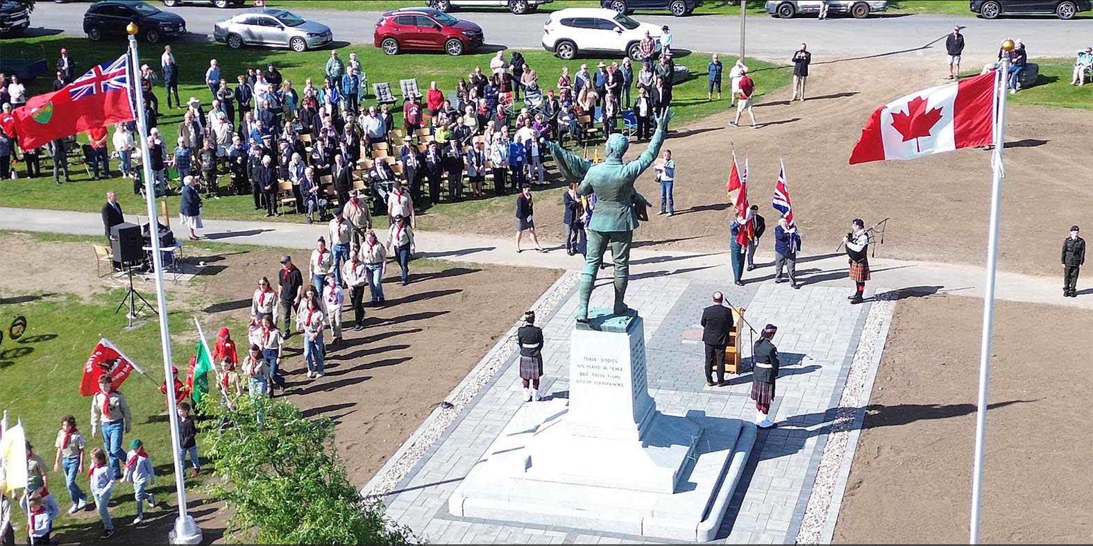
Dedication Ceremony in progress on 19 September at 3pm.
MD13 - Ceremony in progress with 360 view around the new location.
Click Here to see more pics and flight videos.
Sept. 16, 2026 - Battle of Crysler's Farm National Historic Site Views.
It seems appropriate right now to take some new pics.
The Battle of Crysler’s Farm National Historic Site of Canada is located in Crysler’s Farm Battlefield Park, near Upper Canada Village, east of Morrisburg, Ontario. The battle, which took place on November 11, 1813 on farmland belonging to John Crysler, ended the American campaign for Montréal. While the original battlefield is now underwater, a grassy knoll made from earth removed from the original site and a commemorative monument consisting of an obelisk surrounded by a rectangle of flagstones and two flanking guns on garrison carriages together comprise the historic site. Click Here for more info.
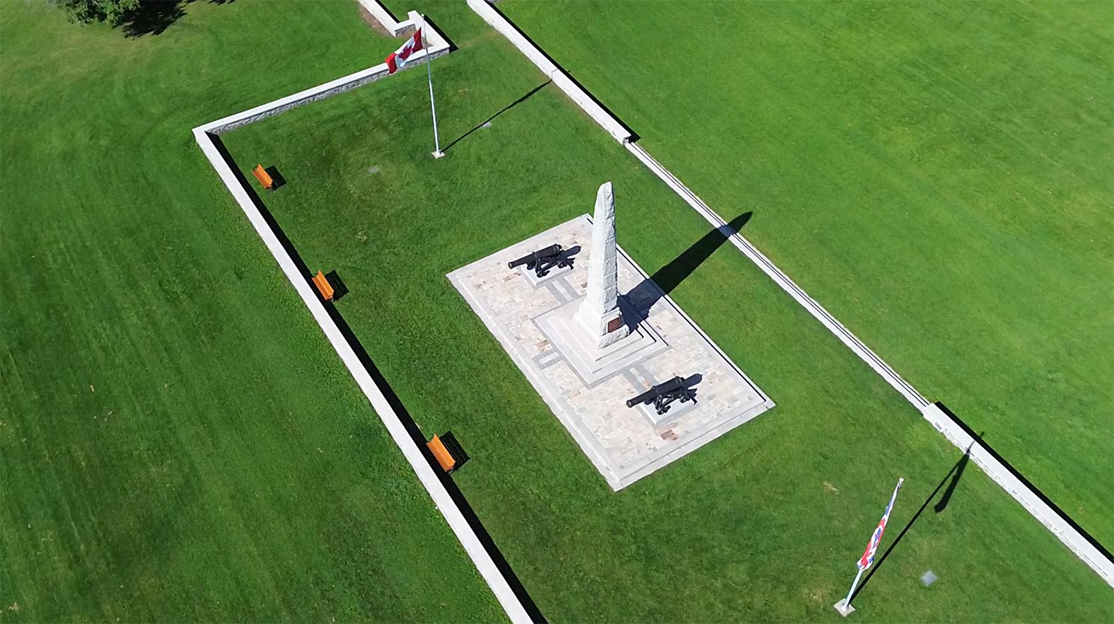
Click Above for more pics and two flight videos.
Sept. 14, 2026 - CSL ST-LAURENT passing Morrisburg (couple of days ago).
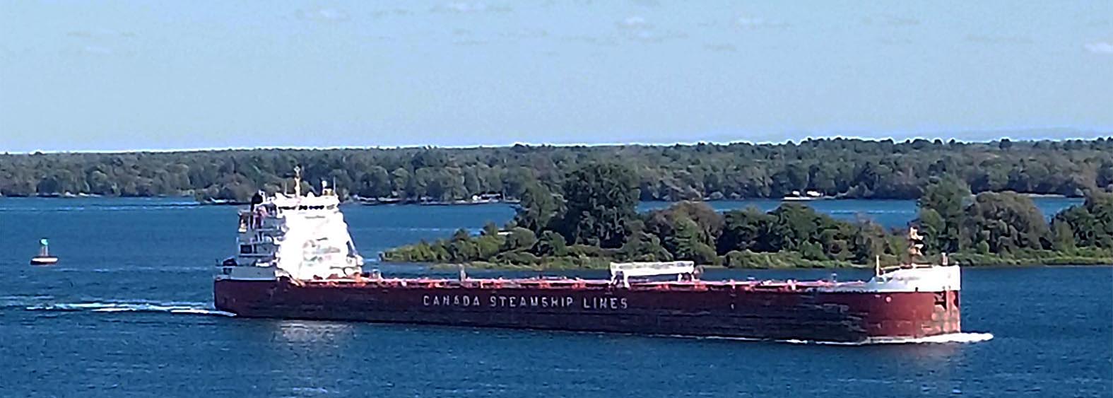
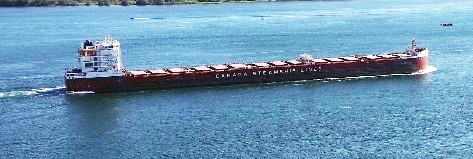
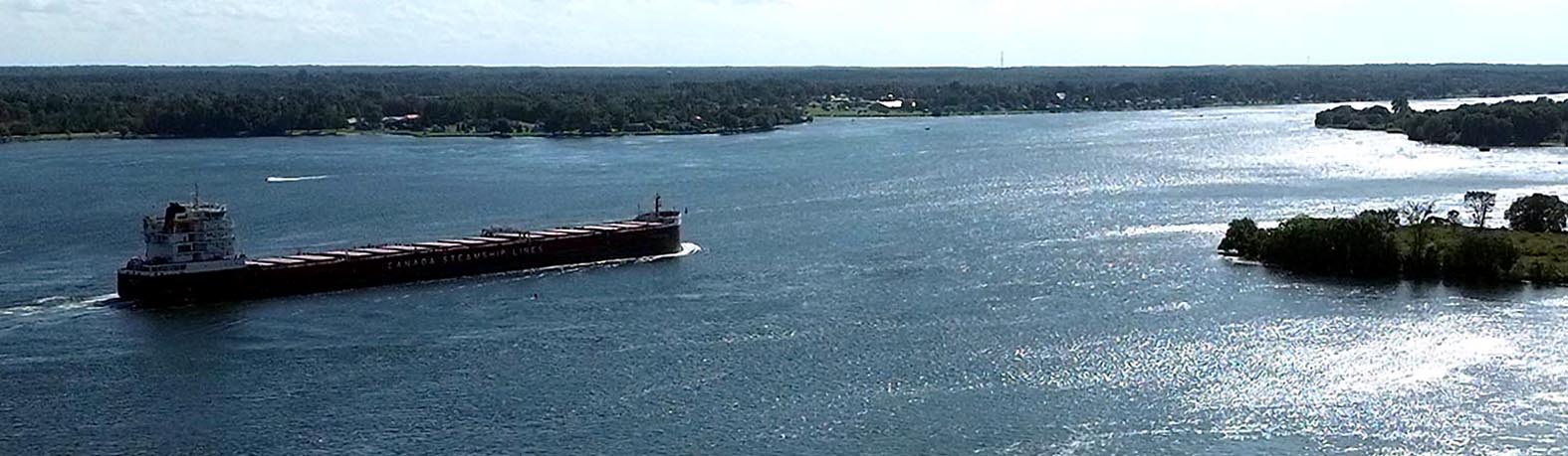
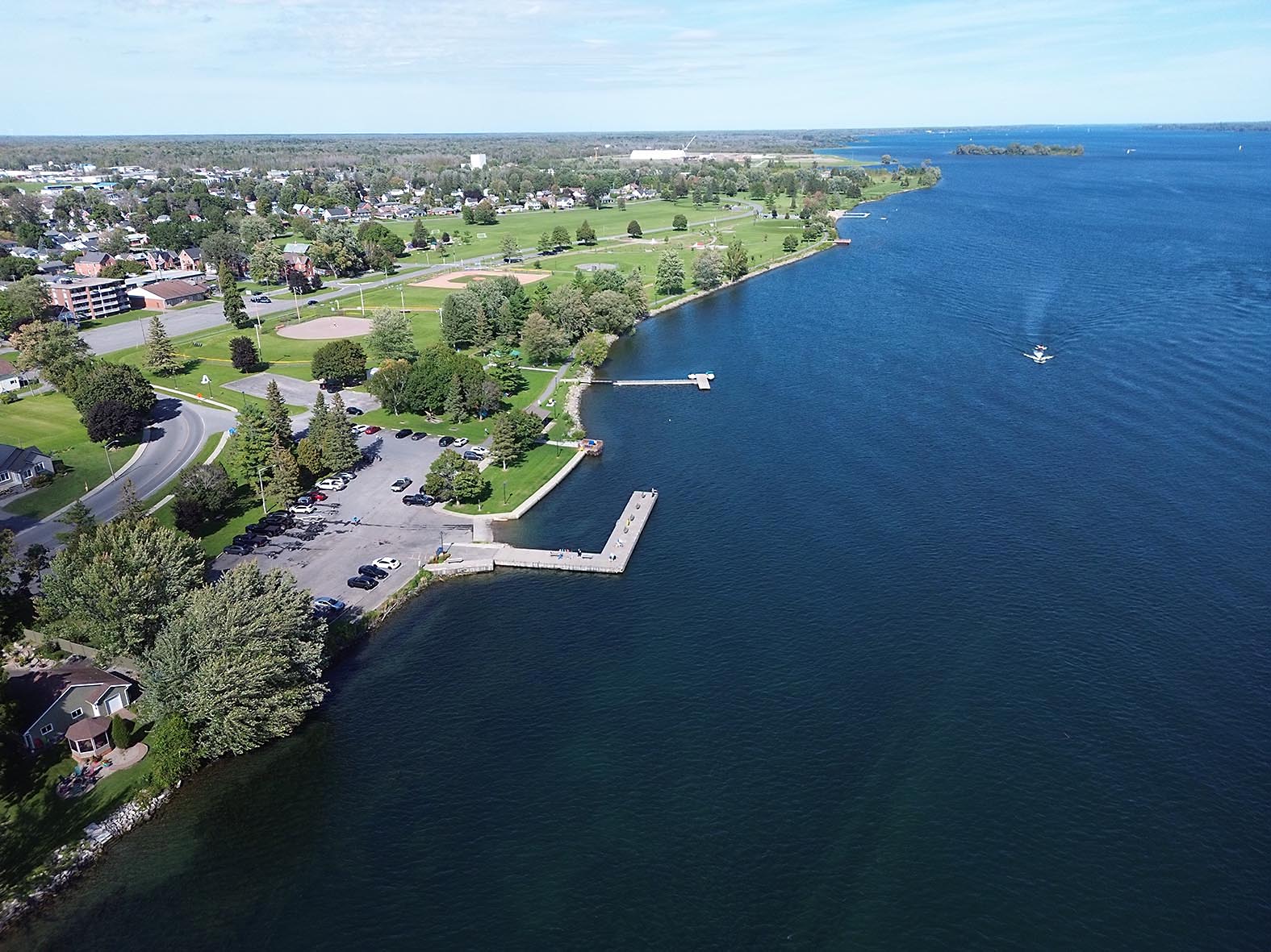
From where the shots were taken, looking down river:
September 13, 2026 - Pics of the Seaway in process of being flooded in 1958.
Interesting Article from Global News - Auguist 8, 2018.
The Village of Moulinette slowly turns into an island after the flooding of St. Lawrence River in July of 1958. Lost Villages Historical Society
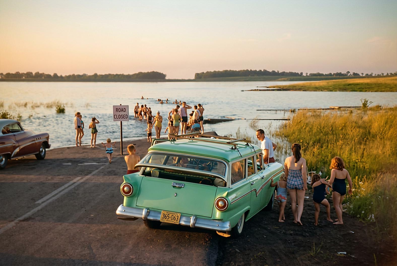
Exciting times in July 1958 as the waters of the St Lawrence rise. Photo Credit. © Erich Hartmann/Magnum Photos
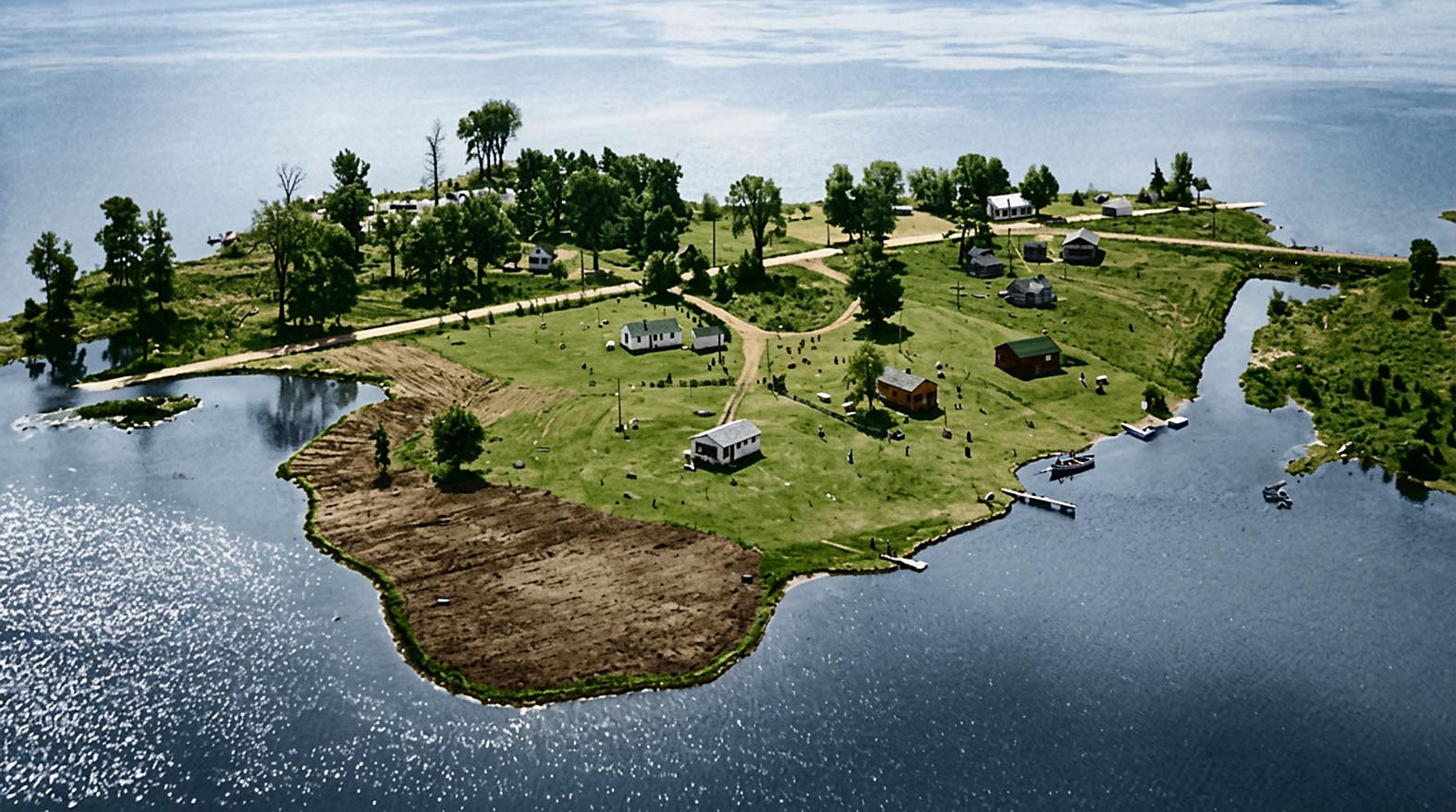
The Village of Moulinette slowly turns into an island after the flooding of St. Lawrence River in July of 1958. Lost Villages Historical Society
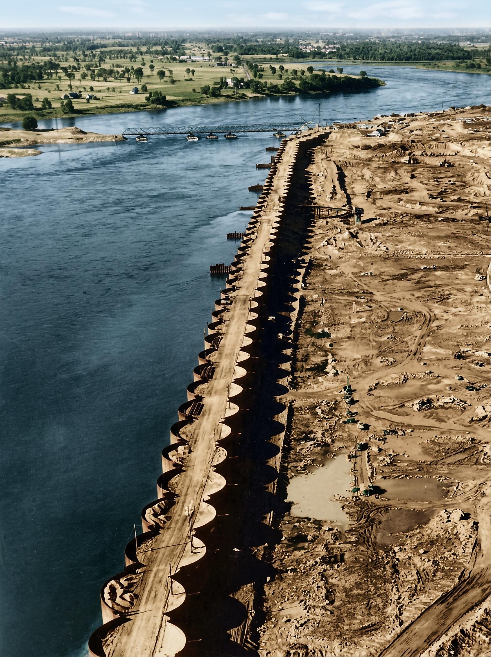
The completed cofferdam which stretches across the international boundary from the foot of Barnhart Island to the main Canadian shore provides a 3,200 foot long bulwark against the swift moving Saint Lawrence Rapids, 1955. The Seaway and the St. Lawrence Power Project, two separate but closely related projects, are under construction on the St. Lawrence River on the Canadian and United States borders. The pontoon bridge at top connects Barnhart Island with the main American shore. (AP Photo)
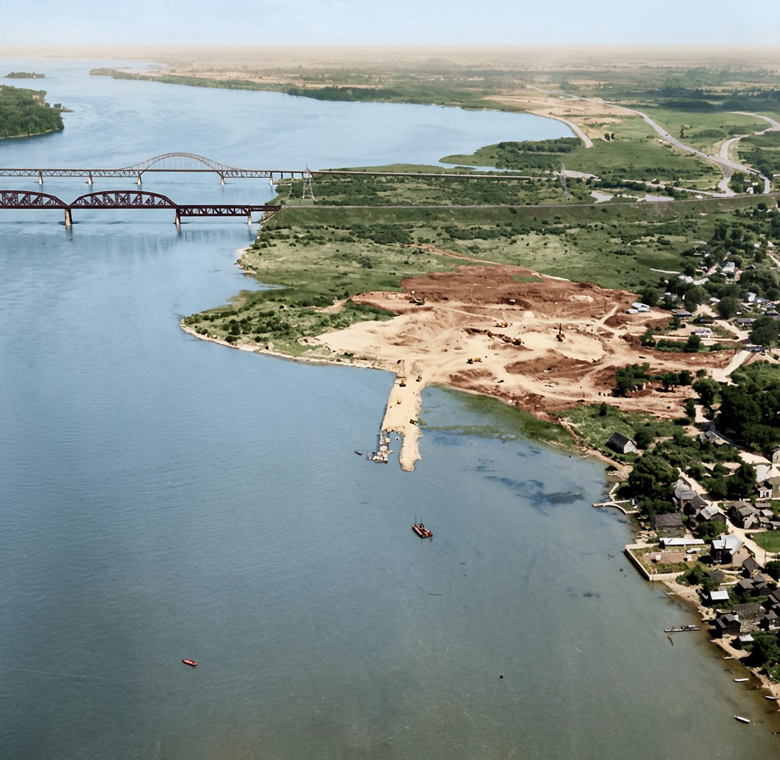
One of the few photos of Kahnawake's shoreline before the St. Lawrence Seaway. (The Kahnawake Photo Archive/ Kanien'keháka Onkwawén:na Raotitióhkwa Language and Cultural Center)
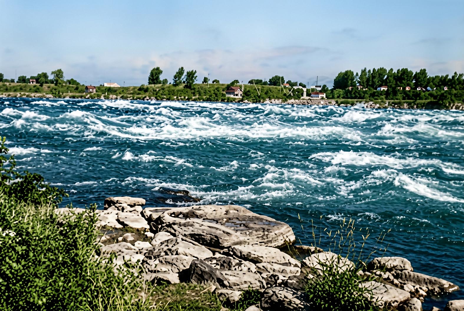
Long Sault Rapids before Seaway Project.
September 11, 2026 - Old Morrisburg Aerial Pics from 1956 and 1957 - Before the Seaway Flooding in July, 1958.

Morrisburg Looking South East - taken 29 October 1956. You can see the very beginning of the work to build the new shopping centre, just South of the railway line and East of Highway 31.

Aerial View, Looking East, of the Morrisburg Shopping Centre Under Construction in June 1957.

Aerial View of the Morrisburg Waterfront in 1957 (looking NE) - Getting the new town's water system ready for the post Seaway times.
September 10, 2026 - Colourized Version of Long Sault Rapids Before Canals

Artists drawing of the construction of the canal bank leading up to Dickenson's Landing. The rapids seen here are the Long Sault Rapids. The date would be sometime in the late 1830's. Click Here for more.
September 8, 2026 - IMSAR Marine Rescue Exercises & RCAF 424 Squadron
- on the Morrisburg Waterfront this afternoon
The Iroquois Marine Search and Rescue team and the RCAF treated us to a spectacular demonstration of their capabilities today. For obvious reasons, I did not use my Flying Camera. Lots of good pics from my trusty Nikon SLR!

Click Here or on the pic above to see 22 pics that showed them in action. Here is a link to the IMSAR Website.
September 4 - Fun Experimenting with Panoramas with my Flying Camera

"Spherical" Panorama - 360 horizontal and vertical
Interesting but I am not sure I will be able to use it again! With my drone directly above the waterfront at 25 Lakeshore, it takes 37 pics from this location, with the camera automatically rotating 360 in both horizontal and vertical directions to cover the spherical views from the drone's position. I was then able to use Adobe Photoshop to automatically merge the resulting pics to get the result above. Click on the pic to see the full size version.

180 degree panorama view from the same location but at a lower height
Same idea but the drone only took 7 pics. Click on the pic to see the full size version.

Conventional Panorama from high height - about 120 degrees
Conventional Panorama from high height - about 120 degrees (7 pics). Click on the pic to see the full size version.
August 30 - Using AI to colourize and improve the quality of some of the Seaway History Pics
Now there are 25 pics from before the Seaway opened in 1958 - From Montreal west to Cardinal - including pics of Montreal Canals, Lachine Canal, Soulange Canal, Cornwall Canal, Mille Roches, Farran Point, Morrisburg, Iroquois and Cardinal. Click Here - all the originals are still available HERE
For example see below view from high above Pre-Seaway Morrisburg and Mariatown - including the old Williamsburg Canal

August 22 - Earl Baker Park and the Waterfront
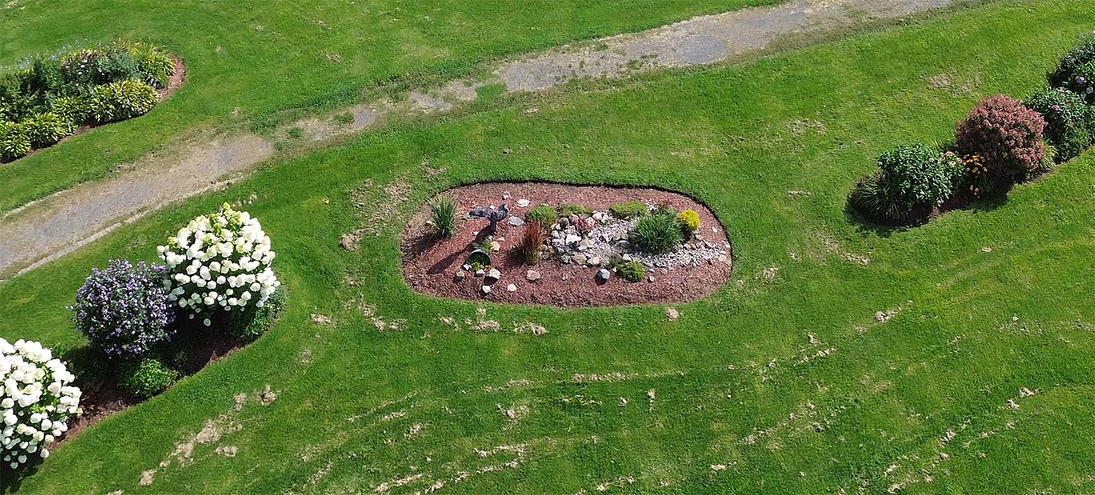
For more pictures of the Flower Gardens, the Playgrounds and Splashpad, the Dog Park, the Beach, the Waterfront Trail and the Morrisburg Golf Club - Click Here
August 21 - FWN Sea Passing Loyalist Park
The very striking "FWN Sea" passes one of my favourite ship watching sights coming from the Iroquois Lock, heading towards Mariatown and Morrisburg.
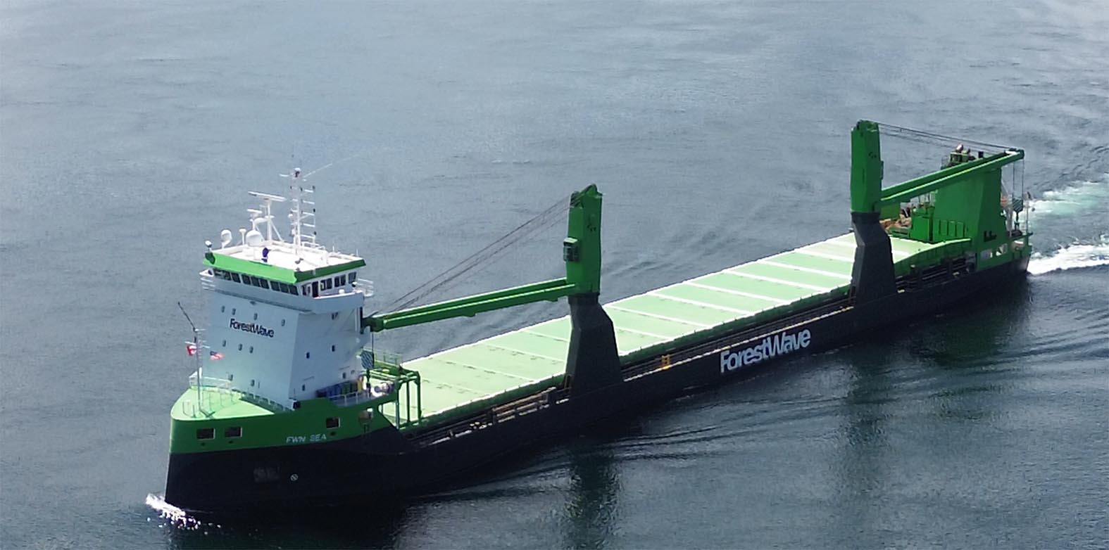
Click to see all the pics.
August 18 - Back to Ship Watching
Algoma Endeavour, August 18 2026 - Going Up River to the Iroquois Locks. Passing Mariatown.
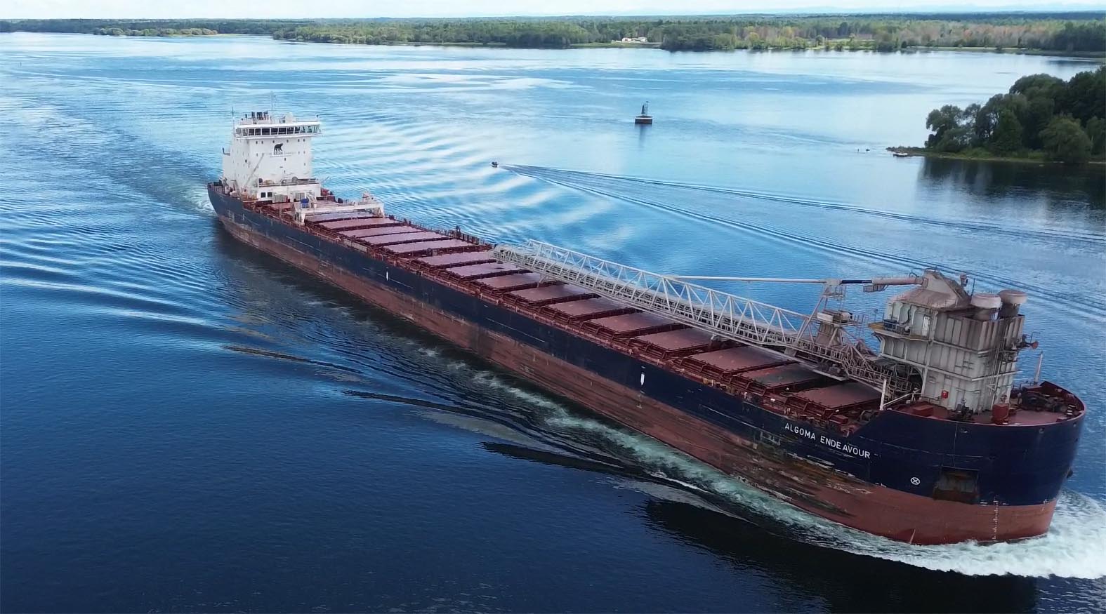
Click to see all the pics.
August 17 - My Flying Camera is Resurected
I have also now started flying my drone again (now a DJI Mini 3 - much smaller, less than 250g and much quieter).
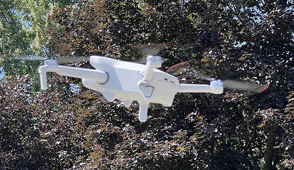
Here is one example:
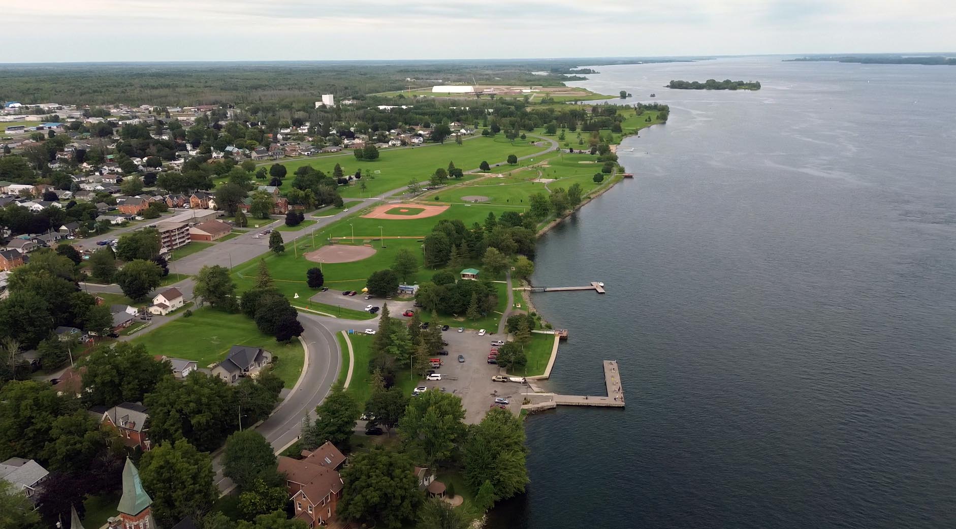
Morrisburg Waterfront Looking East From About 200m
Click Above to see 10 more pics covering the full Morrisburg Waterfront from East to West.
August 4, 2026 - Morrisburg-Wadington Ferry
In looking through my Morrisburg History files, I found this page of information about the Morrisburg ferries:
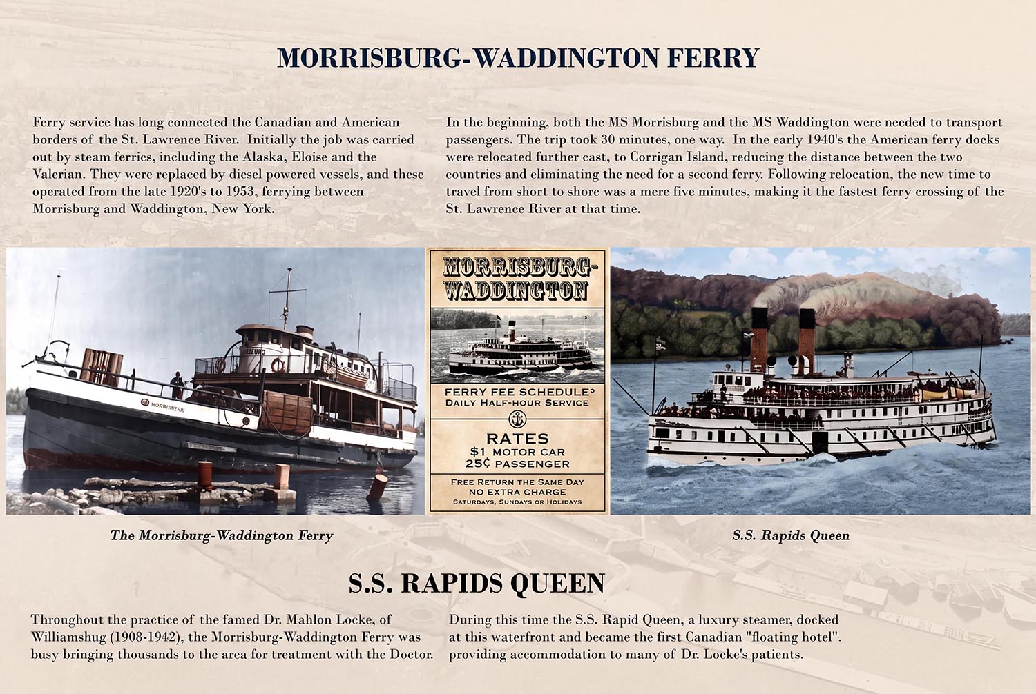
Here are blowups of the boats mentioned.
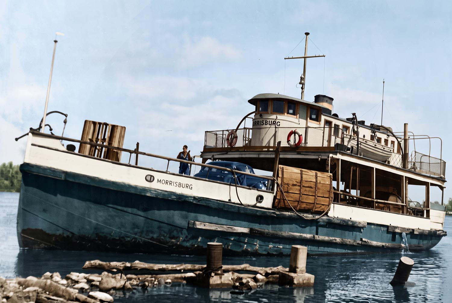
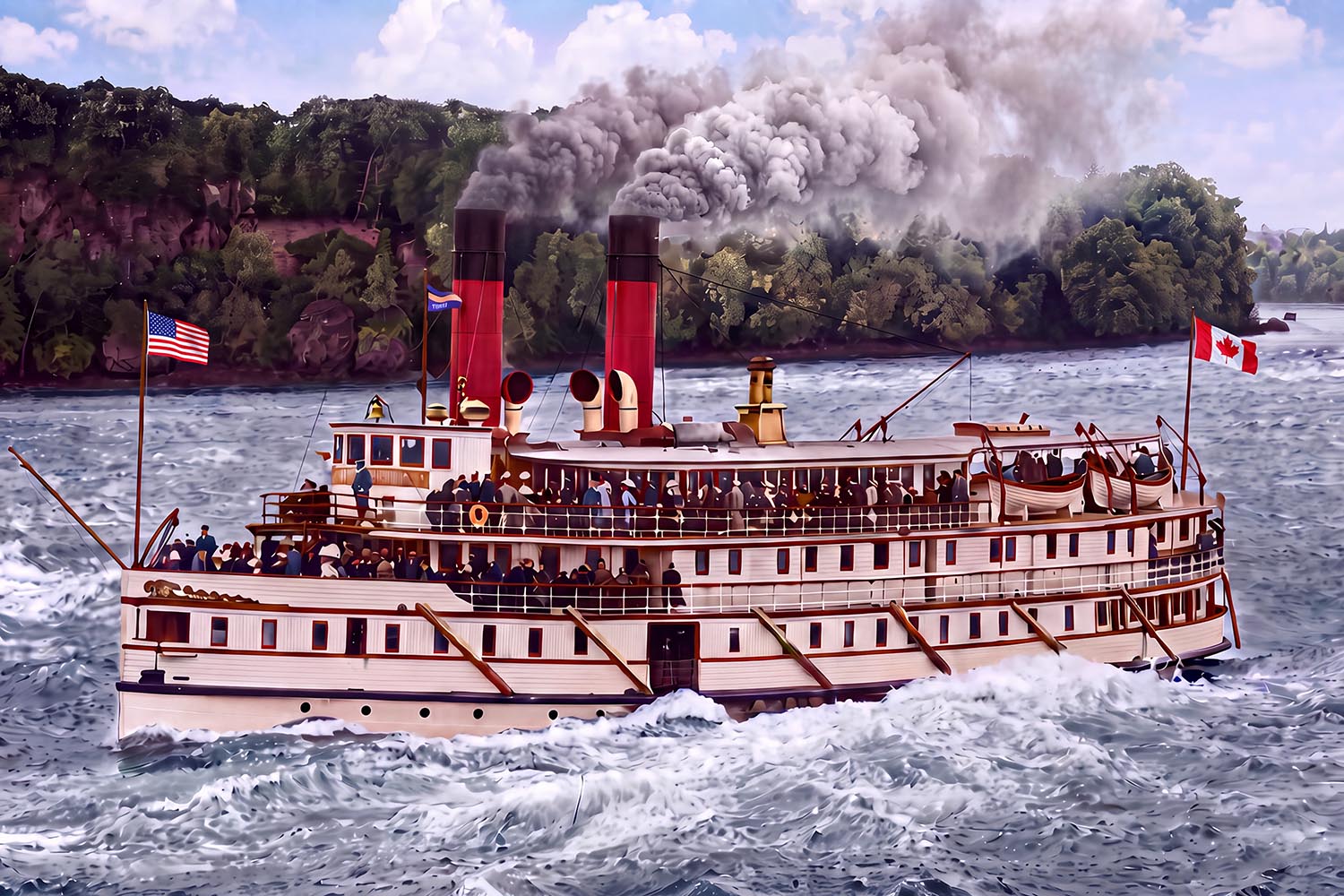
28 July, 2026
If you click on the thumbnail above you can view a 2026 version of the Pre-Seaway Aerial images of Morrisburg and area - after I had lots of fun using AI to colourize the original Black & White images. I am quite impressed with the quality of the results - I hope you are!
31 July, 2026
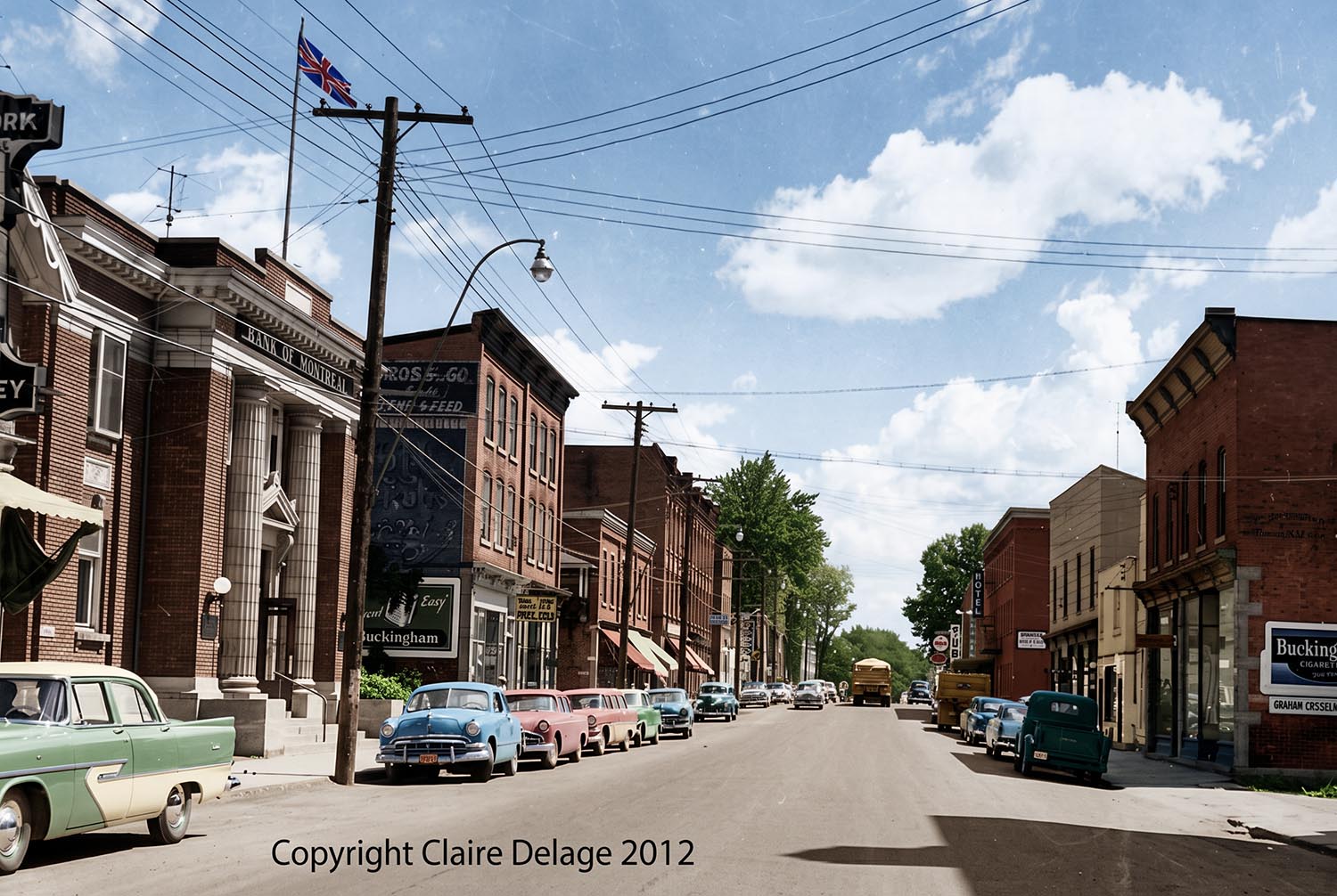
I have now completed the update the Virtual Tour of Old Main Street Morrisburg Page. Take a look. It looks quite different in colour!
1 August, 2026
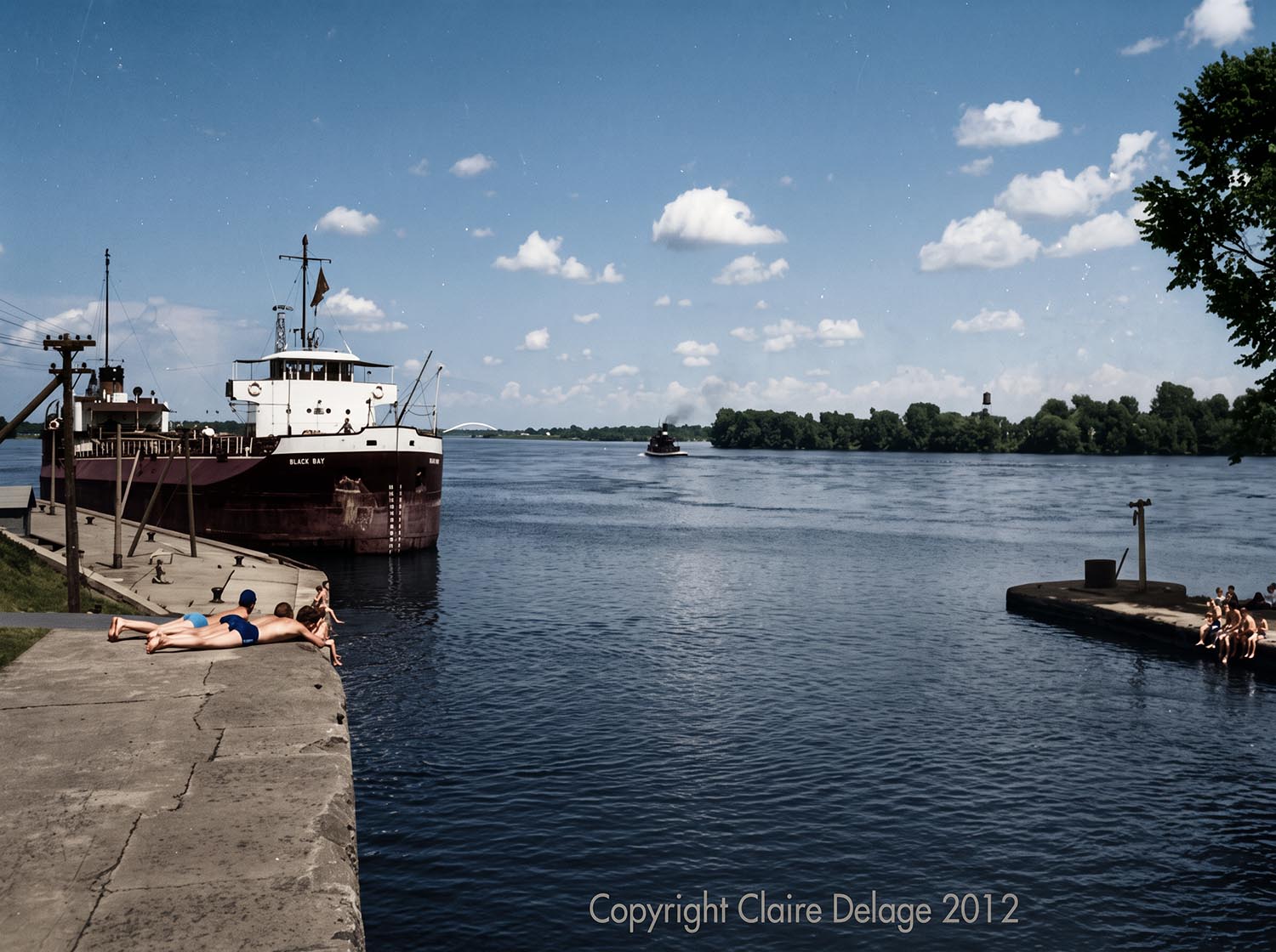
I have now completed Old Morrisburg Waterfront Web Page. It includes some really beautiful pics!
July, 2026 - Highlights From Previous Gallery Pics
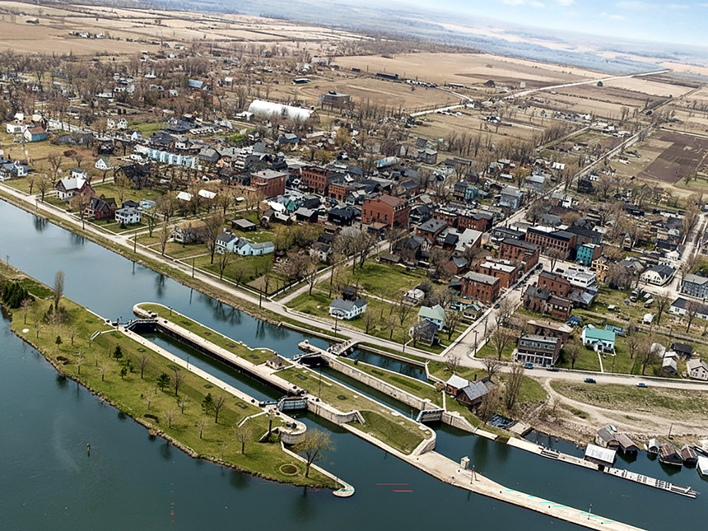
Aerial view of Lock 23 and downtown Morrisburg before the 1958 flooding to create the St Lawrence Seaway.
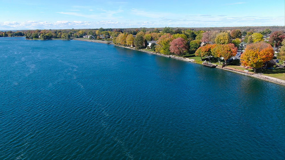
Fall picture of the Morrisburg waterfront from above.
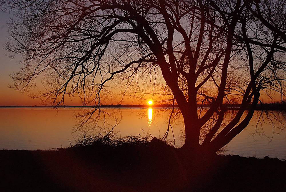
Sunrise in late Fall from the West end of Morrisburg.
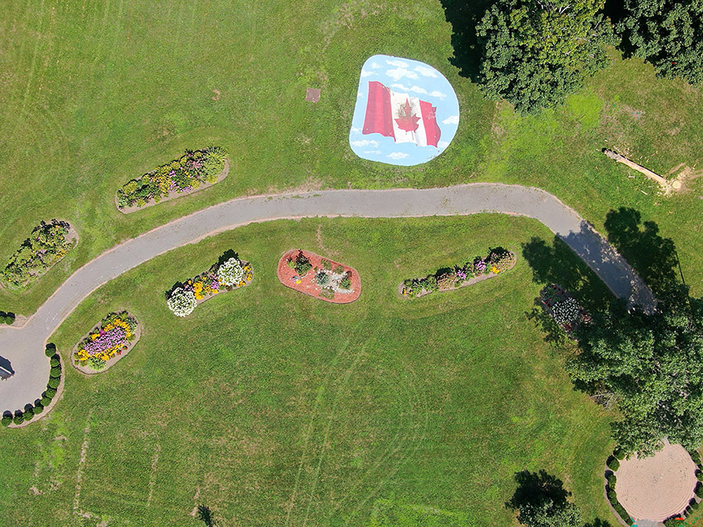
Summer picture from high above the Earl Baker Park flower gardens.
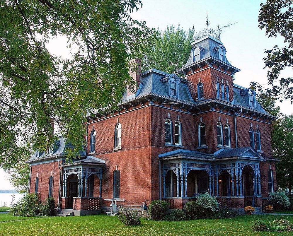
The old "Gorrel House" on Lakeshore Drive, Morrisbug.
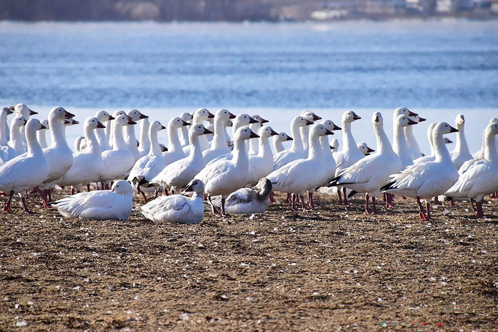
Early Sring gathering of White Geese on their way North for the Summer.
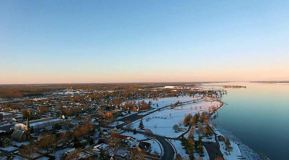
View from above looking East along the Morrisburg Waterfront Path.
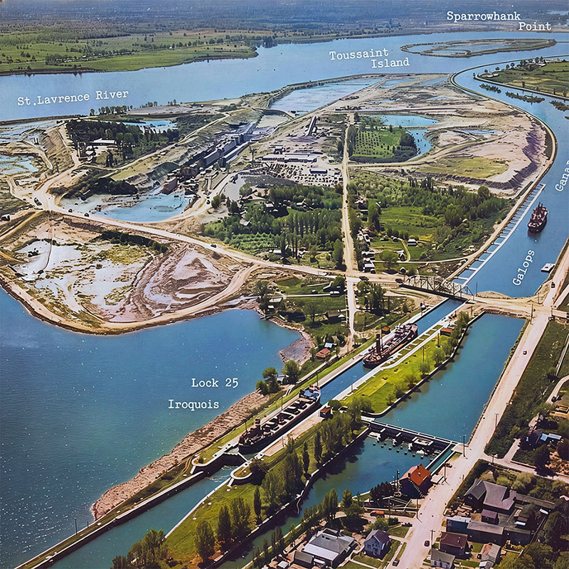
Aerial view over Iroquois Lock 25 before the Seaway.
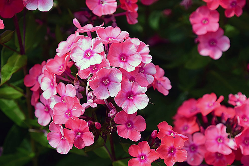
Spring flowers.
class="auto-style12"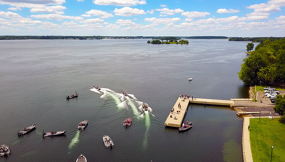
Early morning aerial view of Fishing Tournament Takeoff from Morrisburg Dock.